 |
On-line Digital Images |
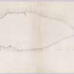
DP 149873 |
Plane-table survey: fort at Walls Hill (redrawn from three sheets). |
12/7/1954 |
Item Level |
 |
On-line Digital Images |
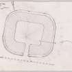
DP 149874 |
Plane table survey and section of Lurg Moor Roman fortlet. |
17/11/1952 |
Item Level |
 |
On-line Digital Images |
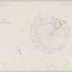
DP 149875 |
Plane-table survey; Ballagioch Cairn. |
6/7/1954 |
Item Level |
 |
On-line Digital Images |
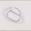
DP 149880 |
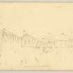
Ink plan of fort at Craigmarloch Wood. |
c. 1975 |
Item Level |
 |
On-line Digital Images |
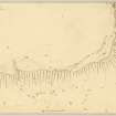
DP 149883 |
Plane table survey plan of fort at Walls Hill (sheet 2 of 3). |
12/7/1954 |
Item Level |
 |
On-line Digital Images |
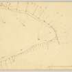
DP 149884 |
Plane table survey plan of fort at Walls Hill (sheet 1 of 3). |
12/7/1954 |
Item Level |
 |
On-line Digital Images |
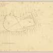
DP 149885 |
Plane table survey plan of fort at Walls Hill (3 of 3). |
12/7/1954 |
Item Level |
 |
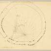
On-line Digital Images |
DP 149886 |
Plane-table survey: fort on Marshall Moor. |
8/7/1954 |
Item Level |
 |
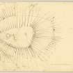
On-line Digital Images |
DP 149887 |
Plane-table survey of circular enclosure on the south side of Knapps Homestead (on Kilmalcolm Golf Links). |
6/5/1954 |
Item Level |
 |
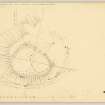
On-line Digital Images |
DP 149888 |
Plane table survey; fort at Dunwan Hill. |
5/7/1954 |
Item Level |
 |
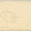
On-line Digital Images |
DP 149889 |
Plane table survey; fort at High Castlehill. |
6/5/1954 |
Item Level |
 |
On-line Digital Images |
DP 149893 |
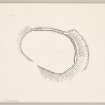
Plane table survey plan of fort at Ewk, Castle Hill, Renfrewshire. |
8/7/1954 |
Item Level |
 |
On-line Digital Images |
DP 149894 |
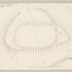
RCAHMS Marginal Land Survey. Ink plan of fort at Ewk, Castle Hill, Renfrewshire. |
c. 1975 |
Item Level |
 |
On-line Digital Images |
DP 149900 |
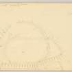
RCAHMS Marginal Land Survey. Redrawn pencil plane table survey plan of fort at Craigmarloch Wood, Renfrewshire. |
5/5/1954 |
Item Level |
 |
On-line Digital Images |
DP 149901 |
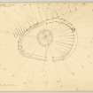
Plane table survey plan of fort at Craigmarloch Wood. |
5/5/1954 |
Item Level |
 |
On-line Digital Images |
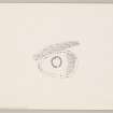
DP 149903 |
Plane-table survey: settlement at Knockmade Hill. |
6/7/1954 |
Item Level |
 |
On-line Digital Images |
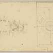
DP 149904 |
Publication drawing: settlement at Knockmade Hill. |
c. 1975 |
Item Level |
 |
On-line Digital Images |
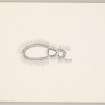
DP 149905 |
Plane table survey plans of the fort at Law Hill, Renfs., and the earthwork/enclosure at Blacksholm/Strathgryfe (both sites have one more sheet).
|
6/5/1954 |
Item Level |
 |
On-line Digital Images |
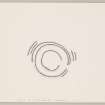
DP 149906 |
Ink plan of fort at Law Hill. |
c. 1975 |
Item Level |
 |
On-line Digital Images |
DP 149907 |
Inked plan: earthwork/enclosure at Blacksholm/Strathgryfe. |
c. 1975 |
Item Level |
 |
On-line Digital Images |
DP 149908 |
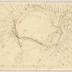
Plane table survey: Duncarnock Fort. |
19/3/1955 |
Item Level |
 |
On-line Digital Images |
DP 148822 |
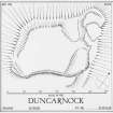
Inked plan: Duncarnock, fort. |
c. 1955 |
Item Level |
 |
On-line Digital Images |
DP 148823 |
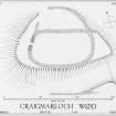
Inked plan: Craigmarloch Wood, fort. |
c. 1954 |
Item Level |
 |
On-line Digital Images |
SC 343846 |
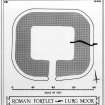
Inked plan and section: Lurg Moor. |
c. 1952 |
Item Level |


