|
Digital Files (Non-image) |
TM 001010 |
GPS recorded flight path and map for Sortie 2009/63 |
8/11/2009 |
Item Level |
 |
On-line Digital Images |
DP 084516 |
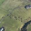
Oblique aerial view centred on the remains of the liestone quarry and the lime clamps with the pallet yard adjacent, taken from the W. |
8/11/2009 |
Item Level |
 |
On-line Digital Images |
DP 084518 |
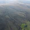
General oblique aerial view of the remains of the rig, field boundaries, quarries and enclosure, with Mountstewart in the foreground, taken from the NE. |
8/11/2009 |
Item Level |
 |
On-line Digital Images |
DP 084520 |
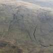
General oblique aerial view of the remains of the enclosure, field boundaries, rig and trackways, taken from the NNW. |
8/11/2009 |
Item Level |
 |
On-line Digital Images |
DP 084522 |
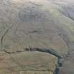
General oblique aerial view of the remains of the field boundaries, rig, farmstead, trackways, enclosure, sheepfold and possible assart, taken from the NW. |
8/11/2009 |
Item Level |
 |
On-line Digital Images |
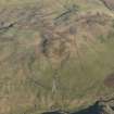
DP 084523 |
General oblique aerial vew of the remains of the farmstead, field boundaries, platform and rig, taken from the W. |
8/11/2009 |
Item Level |
 |
On-line Digital Images |
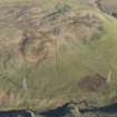
DP 084524 |
General oblique aerial vew of the remains of the farmstead, field boundaries, platform and rig, taken from the W. |
8/11/2009 |
Item Level |
 |
On-line Digital Images |
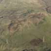
DP 084525 |
General oblique aerial vew of the remains of the farmstead, field boundaries, platform and rig, taken from the W. |
8/11/2009 |
Item Level |
 |
On-line Digital Images |
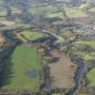
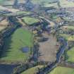
DP 084437 |
General oblique aerial view looking along the River Teith towards Doune Castle and village, taken from the SSE. |
8/11/2009 |
Item Level |
 |
On-line Digital Images |
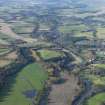
DP 084438 |
General oblique aerial view looking along the River Teith towards Doune Castle and village, taken from the SE. |
8/11/2009 |
Item Level |
 |
On-line Digital Images |
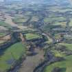
DP 084439 |
General oblique aerial view looking along the River Teith towards Doune Castle and village with Ben Ledi in the distance, taken from the ESE. |
8/11/2009 |
Item Level |
 |
On-line Digital Images |
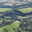
DP 084440 |
General oblique aerial view looking along the River Teith towards Doune Castle and village with Ben Ledi in the distance, taken from the ESE. |
8/11/2009 |
Item Level |
 |
On-line Digital Images |
DP 084441 |
General oblique aerial view looking over Doune Castle towards the excavations, taken from the ENE. |
8/11/2009 |
Item Level |
 |
On-line Digital Images |
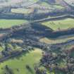
DP 084442 |
General oblique aerial view looking over Doune Castle towards the excavations, taken from the NE. |
8/11/2009 |
Item Level |
 |
On-line Digital Images |
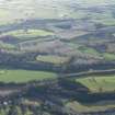
DP 084443 |
General oblique aerial view looking over Doune Castle and the excavations, taken from the NNE. |
8/11/2009 |
Item Level |
 |
On-line Digital Images |
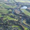
DP 084444 |
General oblique aerial view looking over Doune Castle and the excavations towards Blairdummond Safari Park, taken from the NW. |
8/11/2009 |
Item Level |
 |
On-line Digital Images |
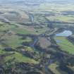
DP 084445 |
General oblique aerial view looking over Doune Castle and the excavations towards Blairdummond Safari Park with Stirling in the distance, taken from the NW. |
8/11/2009 |
Item Level |
 |
On-line Digital Images |
DP 084446 |
General oblique aerial view looking over Doune Castle and the excavations towards Blairdummond Safari Park with Stirling in the distance, taken from the NW. |
8/11/2009 |
Item Level |
 |
On-line Digital Images |
DP 084447 |
General oblique aerial view looking over Doune Castle and the excavations towards Blairdummond Safari Park with Stirling in the distance, taken from the NW. |
8/11/2009 |
Item Level |
 |
On-line Digital Images |
DP 084448 |
General oblique aerial view looking over Doune Castle and the excavations towards Blairdummond Safari Park with Stirling, the Wallace Monument and the Forth in the distance, taken from the NW. |
8/11/2009 |
Item Level |
 |
On-line Digital Images |
DP 084449 |
General oblique aerial view looking over Doune Castle and the excavations towards Blairdummond Safari Park with Stirling, the Wallace Monument and the Forth in the distance, taken from the NNW. |
8/11/2009 |
Item Level |
 |
On-line Digital Images |
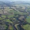
DP 084450 |
General oblique aerial view looking over Doune Castle and the excavations towards Blairdummond Safari Park with Stirling, the Wallace Monument and the Forth in the distance, taken from the NNW. |
8/11/2009 |
Item Level |
 |
On-line Digital Images |
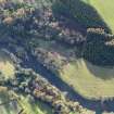
DP 084451 |
Oblique aerial view centred on the excavations of the round house and other archaeological features, taken from the NE. |
8/11/2009 |
Item Level |
 |
On-line Digital Images |
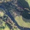
DP 084452 |
Oblique aerial view centred on the excavations of the round house and other archaeological features, taken from the NE. |
8/11/2009 |
Item Level |


