|
Digital Files (Non-image) |
TM 000998 |
GPS recorded flight path and map for Sortie 2009/50 |
25/8/2009 |
Item Level |
 |
On-line Digital Images |
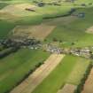
DP 080735 |
General oblique aerial view of Elsrickle village, taken from the SE. |
25/8/2009 |
Item Level |
 |
On-line Digital Images |
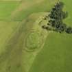
DP 080736 |
Oblique aerial view of Henderland Hill fort, taken from the SW. |
25/8/2009 |
Item Level |
 |
On-line Digital Images |
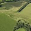
DP 080738 |
Oblique aerial view of Henderland Hill fort, taken from the SE. |
25/8/2009 |
Item Level |
 |
On-line Digital Images |
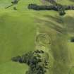
DP 080739 |
Oblique aerial view of Henderland Hill fort, taken from the NE. |
25/8/2009 |
Item Level |
 |
On-line Digital Images |
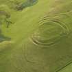
DP 080747 |
Oblique aerial view of Whiteside Hill fort, taken from the NW. |
25/8/2009 |
Item Level |
 |
On-line Digital Images |
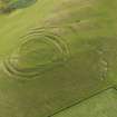
DP 080748 |
Oblique aerial view of Whiteside Hill fort, taken from the NW. |
25/8/2009 |
Item Level |
 |
On-line Digital Images |
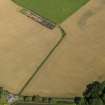
DP 080750 |
Oblique aerial view of the cropmarks of the settlement with the round house adjacent, taken from the SSW. |
25/8/2009 |
Item Level |
 |
On-line Digital Images |
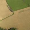
DP 080751 |
Oblique aerial view of the cropmarks of the settlement and round house, taken from the S. |
25/8/2009 |
Item Level |
 |
On-line Digital Images |
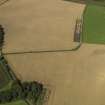
DP 080752 |
Oblique aerial view of the cropmarks of the settlement and round house, taken from the SE. |
25/8/2009 |
Item Level |
 |
On-line Digital Images |
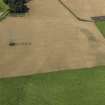
DP 080753 |
Oblique aerial view of the cropmarks of the settlement and round house, taken from the E. |
25/8/2009 |
Item Level |
 |
On-line Digital Images |
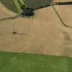
DP 080754 |
Oblique aerial view of the cropmarks of the settlement and round house, taken from the ENE. |
25/8/2009 |
Item Level |
 |
On-line Digital Images |
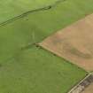
DP 080755 |
Oblique aerial view of the cropmarks of the round house, taken from the WNW. |
25/8/2009 |
Item Level |
 |
On-line Digital Images |
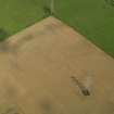
DP 080756 |
Oblique aerial view of the cropmarks of the round house, taken from the SSW. |
25/8/2009 |
Item Level |
 |
On-line Digital Images |
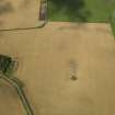
DP 080758 |
Oblique aerial view of the cropmarks of the settlement and round house, taken from the SSE. |
25/8/2009 |
Item Level |
 |
On-line Digital Images |
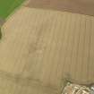
DP 080759 |
Oblique aerial view of the cropmarks of the fort at Bolton, taken from the SSW. |
25/8/2009 |
Item Level |
 |
On-line Digital Images |
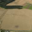
DP 080763 |
Oblique aerial view of the cropmarks of the fort at Bolton, taken from the SE. |
25/8/2009 |
Item Level |
 |
On-line Digital Images |
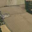
DP 080765 |
Oblique aerial view of the cropmarks of the fort at Bolton, taken from the NE. |
25/8/2009 |
Item Level |
 |
On-line Digital Images |
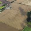
DP 080766 |
General oblique aerial view of the cropmarks of the fort at Bolton, taken from the N. |
25/8/2009 |
Item Level |
 |
On-line Digital Images |
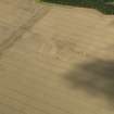
DP 080771 |
Oblique aerial view of the cropmarks of the fort at Bolton, taken from the ESE. |
25/8/2009 |
Item Level |
 |
On-line Digital Images |
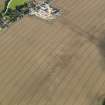
DP 080772 |
Oblique aerial view of the cropmarks of the fort at Bolton, taken from the NNE. |
25/8/2009 |
Item Level |
 |
On-line Digital Images |
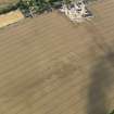
DP 080773 |
Oblique aerial view of the cropmarks of the fort at Bolton, taken from the NNW. |
25/8/2009 |
Item Level |
 |
On-line Digital Images |
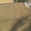
DP 080774 |
Oblique aerial view of the cropmarks of the fort at Bolton, taken from the NW. |
25/8/2009 |
Item Level |
 |
On-line Digital Images |
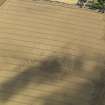
DP 080775 |
Oblique aerial view of the cropmarks of the fort at Bolton, taken from the WNW. |
25/8/2009 |
Item Level |


