|
Digital Files (Non-image) |
TM 000983 |
GPS recorded flight path and map for Sortie 2009/35 |
13/7/2009 |
Item Level |
 |
On-line Digital Images |
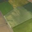
DP 078261 |
Oblique aerial view of the cropmarks of the pits and drains, taken from the SE. |
13/7/2009 |
Item Level |
 |
On-line Digital Images |
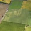
DP 078263 |
Oblique aerial view of the cropmarks of the pits and drains, taken from the ESE. |
13/7/2009 |
Item Level |
 |
On-line Digital Images |
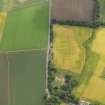
DP 078267 |
Oblique aerial view of the cropmarks of the enclosure and track, taken from the WNW. |
13/7/2009 |
Item Level |
 |
On-line Digital Images |
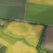
DP 078269 |
Oblique aerial view of the cropmarks of the enclosure and track, taken from the SSW. |
13/7/2009 |
Item Level |
 |
On-line Digital Images |
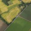
DP 078272 |
Oblique aerial view of the cropmarks of the enclosure and track, taken from the E. |
13/7/2009 |
Item Level |
 |
On-line Digital Images |
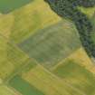
DP 078274 |
Oblique aerial view of the cropmarks, taken from the NW. |
13/7/2009 |
Item Level |
 |
On-line Digital Images |
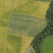
DP 078275 |
Oblique aerial view of the cropmarks, taken from the WSW. |
13/7/2009 |
Item Level |
 |
On-line Digital Images |
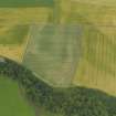
DP 078278 |
Oblique aerial view of the cropmarks, taken from the SSE. |
13/7/2009 |
Item Level |
 |
On-line Digital Images |
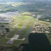
DP 078279 |
General oblique aerial view of Leuchars airfield, taken from the ENE. |
13/7/2009 |
Item Level |
 |
On-line Digital Images |
DP 078283 |
Oblique aerial view of the cropmarks of the barrows, taken from the WNW. |
13/7/2009 |
Item Level |
 |
On-line Digital Images |
DP 078285 |
Oblique aerial view of the cropmarks of the barrows, taken from the WSW. |
13/7/2009 |
Item Level |
 |
On-line Digital Images |
DP 078290 |
Oblique aerial view of the cropmarks of the barrows, taken from the ESE. |
13/7/2009 |
Item Level |
 |
On-line Digital Images |
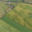
DP 078293 |
Oblique aerial view of the cropmarks of the rig, enclosures and unenclosed settlement, taken from the SW. |
13/7/2009 |
Item Level |
 |
On-line Digital Images |
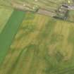
DP 078295 |
Oblique aerial view of the cropmarks of the rig, enclosures and unenclosed settlement, taken from the SSE. |
13/7/2009 |
Item Level |
 |
On-line Digital Images |
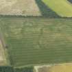
DP 078299 |
Oblique aerial view of the cropmarks of the field boundaries and palaeochannels, taken from the W. |
13/7/2009 |
Item Level |
 |
On-line Digital Images |
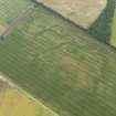
DP 078300 |
Oblique aerial view of the cropmarks of the field boundaries and palaeochannels, taken from the SW. |
13/7/2009 |
Item Level |
 |
On-line Digital Images |
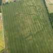
DP 078303 |
Oblique aerial view of the cropmarks of the field boundaries and palaeochannels, taken from the SSW. |
13/7/2009 |
Item Level |
 |
On-line Digital Images |
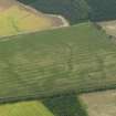
DP 078306 |
Oblique aerial view of the cropmarks of the field boundaries and palaeochannels, taken from the SE. |
13/7/2009 |
Item Level |
 |
On-line Digital Images |
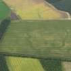
DP 078307 |
Oblique aerial view of the cropmarks of the field boundaries and palaeochannels, taken from the E. |
13/7/2009 |
Item Level |
 |
On-line Digital Images |
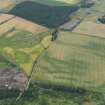
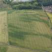
DP 078308 |
General oblique aerial view of the cropmarks, taken from the NE. |
13/7/2009 |
Item Level |
 |
On-line Digital Images |
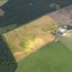
DP 078311 |
General oblique aerial view of the cropmarks, taken from the W. |
13/7/2009 |
Item Level |
 |
On-line Digital Images |
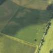
DP 078314 |
General oblique aerial view of the cropmarks of the rig and Shanwell farmstead, taken from the E. |
13/7/2009 |
Item Level |
 |
On-line Digital Images |
DP 078317 |
Oblique aerial view of the cropmarks of the pits and rig, taken from the NNE. |
13/7/2009 |
Item Level |


