|
Digital Files (Non-image) |
TM 000962 |
GPS recorded flight path and map for Sortie 2009/02 |
6/2/2009 |
Item Level |
 |
On-line Digital Images |
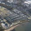
DP 062612 |
Oblique aerial view centred on the marina, taken from the NW. |
6/2/2009 |
Item Level |
 |
On-line Digital Images |
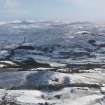
DP 062613 |
General oblique aerial view of the remains of the fort, taken from the W. |
6/2/2009 |
Item Level |
 |
On-line Digital Images |
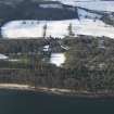
DP 062614 |
Oblique aerial view centred on Mount Stuart House, taken from the E. |
6/2/2009 |
Item Level |
 |
On-line Digital Images |
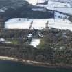
DP 062615 |
Oblique aerial view centred on Mount Stuart House, taken from the E. |
6/2/2009 |
Item Level |
 |
On-line Digital Images |
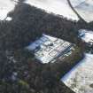
DP 062616 |
Oblique aerial view centred on the walled garden, taken from the NE. |
6/2/2009 |
Item Level |
 |
On-line Digital Images |
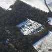
DP 062617 |
Oblique aerial view centred on the walled garden, taken from the NE. |
6/2/2009 |
Item Level |
 |
On-line Digital Images |
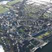
DP 062618 |
General oblique aerial view of Rothesay centred on the castle, taken from the NE. |
6/2/2009 |
Item Level |
 |
On-line Digital Images |
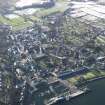
DP 062619 |
General oblique aerial view of Rothesay centred on the castle, taken from the NE. |
6/2/2009 |
Item Level |
 |
On-line Digital Images |
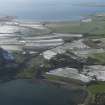
DP 062620 |
General oblique view looking across Kames Bay and the Isle of Bute towards Ettrick Bay and Kintyre beyond, taken from the NE. |
6/2/2009 |
Item Level |
 |
On-line Digital Images |
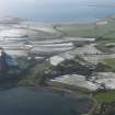
DP 062621 |
General oblique view of Kames Bay centred on Kames Castle, taken from the NE. |
6/2/2009 |
Item Level |
 |
On-line Digital Images |
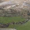
DP 062622 |
General oblique view of Fly Hill and the field banks, taken from the ESE. |
6/2/2009 |
Item Level |
 |
On-line Digital Images |
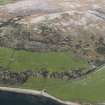
DP 062623 |
General oblique aerial view of Fly Hill and the field banks, taken from the SE. |
6/2/2009 |
Item Level |
 |
On-line Digital Images |
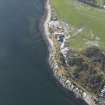
DP 062624 |
General oblique aerial view centred on the seafood factory, taken from the NE. |
6/2/2009 |
Item Level |
 |
On-line Digital Images |
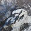
DP 062625 |
Oblique aerial view centred on the remains of the building, field banks and rig and furrow, taken from the NNE. |
6/2/2009 |
Item Level |
 |
On-line Digital Images |
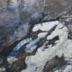
DP 062626 |
Oblique aerial view centred on the remains of the building, field banks and rig and furrow, taken from the NNE. |
6/2/2009 |
Item Level |
 |
On-line Digital Images |
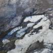
DP 062627 |
Oblique aerial view centred on the remains of the building, field banks and rig and furrow, taken from the N. |
6/2/2009 |
Item Level |
 |
On-line Digital Images |
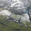
DP 062628 |
Oblique aerial view centred on Stuck farmstead, taken from the NE. |
6/2/2009 |
Item Level |
 |
On-line Digital Images |
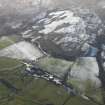
DP 062629 |
Oblique aerial view centred on Stuck farmstead, taken from the NE. |
6/2/2009 |
Item Level |
 |
On-line Digital Images |
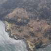
DP 062630 |
Oblique aerial view centred on the remains of the rig and furrow, taken from the N. |
6/2/2009 |
Item Level |
 |
On-line Digital Images |
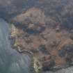
DP 062631 |
Oblique aerial view centred on the remains of the rig and furrow, taken from the NNW. |
6/2/2009 |
Item Level |
 |
On-line Digital Images |
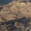
DP 062632 |
General oblique aerial view centred on the remains of the rig and furrow, taken from the SE. |
6/2/2009 |
Item Level |
 |
On-line Digital Images |
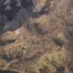
DP 062633 |
General oblique aerial view centred on the remains of the rig and furrow, taken from the N. |
6/2/2009 |
Item Level |
 |
On-line Digital Images |
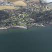
DP 062634 |
General oblique aerial view centred on the village, taken from the E. |
6/2/2009 |
Item Level |


