 |
On-line Digital Images |
DP 095345 |
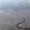
Oblique aerial view of Wigtown Sands with Barsalloch Farm in the background, taken from the SE. |
3/9/2010 |
Item Level |
 |
On-line Digital Images |
DP 095347 |
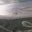
Oblique aerial view of the fish trap stakes of Scaur Fishery on the River Cree, taken from the ENE. |
3/9/2010 |
Item Level |
 |
On-line Digital Images |
DP 095348 |
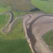
Oblique aerial view centred on the confluence of the River Cree and the Palnure Burn. |
3/9/2010 |
Item Level |
 |
On-line Digital Images |
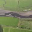
DP 095349 |
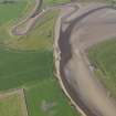
Oblique aerial view centred on the confluence of the River Cree and the Palnure Burn. |
3/9/2010 |
Item Level |
 |
On-line Digital Images |
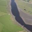
DP 095350 |
Oblique aerial view centred on Kelly Port on the River Cree, taken from the WSW. |
3/9/2010 |
Item Level |
 |
On-line Digital Images |
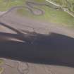
DP 095351 |
General oblique aerial view of the breakwaters on the River Cree, taken from the SW. |
3/9/2010 |
Item Level |
 |
On-line Digital Images |
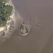
DP 095352 |
Oblique aerial view of the fish trap stakes of Scaur Fishery on the River Cree, taken from the SW. |
3/9/2010 |
Item Level |
 |
On-line Digital Images |
DP 095353 |
Oblique aerial view of the fish trap stakes in Fleet Bay, taken from the SW. |
3/9/2010 |
Item Level |
 |
On-line Digital Images |
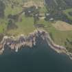
DP 095355 |
General oblique aerial view of Knockbrex, taken from the SW. |
3/9/2010 |
Item Level |
 |
On-line Digital Images |
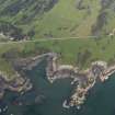
DP 095356 |
Oblique aerial view of Castle Haven dun, taken from the SW. |
3/9/2010 |
Item Level |
 |
On-line Digital Images |
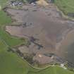
DP 095357 |
General oblique aerial view of Ross Bay, taken from the SE. |
3/9/2010 |
Item Level |
 |
On-line Digital Images |
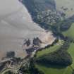
DP 095358 |
General oblique aerial view of Nun Mill Bay with the wreck beyond, taken from the N. |
3/9/2010 |
Item Level |
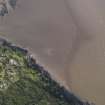 |
On-line Digital Images |
DP 095359 |
Oblique aerial view of the wreck, taken from the SW. |
3/9/2010 |
Item Level |
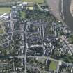 |
On-line Digital Images |
DP 095362 |
Oblique aerial view of Kirkcudbright, taken from the NNE. |
3/9/2010 |
Item Level |
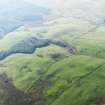 |
On-line Digital Images |
DP 095363 |
General oblique aerial view of Glengappock Mote, taken from the E. |
3/9/2010 |
Item Level |
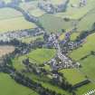 |
On-line Digital Images |
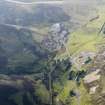
DP 095364 |
General oblique aerial view of Penpont village, taken from the E. |
3/9/2010 |
Item Level |
 |
On-line Digital Images |
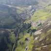
DP 095365 |
General oblique aerial view of West Glencrieff, Wanlockhead, taken from the SE. |
3/9/2010 |
Item Level |
 |
On-line Digital Images |
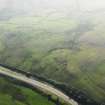
DP 095366 |
General oblique aerial view of West Glencrieff, Wanlockhead, taken from the ESE. |
3/9/2010 |
Item Level |
 |
On-line Digital Images |
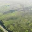
DP 095368 |
General oblique aerial view of the remains of the field boundaries, enclosure and trackways, taken from the ENE. |
3/9/2010 |
Item Level |
 |
On-line Digital Images |
DP 095369 |
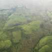
Oblique aerial view of the remains of the enclosure and sheefolds on Parkhead Hill, taken from the NE. |
3/9/2010 |
Item Level |
 |
On-line Digital Images |
DP 095370 |
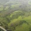
Oblique aerial view of the remains of the enclosure and field boundaries on Parkhead Hill, taken from the NE. |
3/9/2010 |
Item Level |
 |
On-line Digital Images |
DP 095371 |
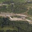
Oblique aerial view of the remains of the field boundaries on Parkhead Hill, taken from the NE. |
3/9/2010 |
Item Level |
 |
On-line Digital Images |
DP 095372 |
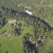
General oblique aerial view of New Lanark village, taken from the SSW. |
3/9/2010 |
Item Level |
 |
On-line Digital Images |
DP 095373 |
General oblique aerial view centred on Corehouse country house with the Bonnington power station beyond, taken from the SSW. |
3/9/2010 |
Item Level |


