|
Digital Files (Non-image) |
TM 000952 |
GPS recorded flight path and map for Sortie 2010/38 |
24/7/2010 |
Item Level |
 |
On-line Digital Images |
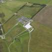
DP 093166 |
Oblique aerial view of the Culloden Information Centre, looking to the E. |
23/7/2010 |
Item Level |
 |
On-line Digital Images |
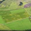
DP 093167 |
Oblique aerial view of the cropmarks of the possible pits, looking to the SE. |
23/7/2010 |
Item Level |
 |
On-line Digital Images |
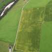
DP 093170 |
Oblique aerial view of the cropmarks of the possible pits, looking to the NNE. |
23/7/2010 |
Item Level |
 |
On-line Digital Images |
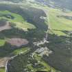
DP 093171 |
General oblique aerial view of Dulnain Bridge village, looking to the ENE. |
23/7/2010 |
Item Level |
 |
On-line Digital Images |
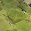
DP 093173 |
Oblique aerial view of the cropmarks of the palisaded enclosure with the farmhouse at Raebreck adjacent, looking to the ENE. |
23/7/2010 |
Item Level |
 |
On-line Digital Images |
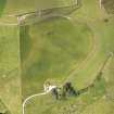
DP 093175 |
Oblique aerial view of the cropmarks of the palisaded enclosure with the farmhouse at Raebreck adjacent, looking to the NNW. |
23/7/2010 |
Item Level |
 |
On-line Digital Images |
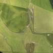
DP 093177 |
Oblique aerial view of the cropmarks of the palisaded enclosure with the farmhouse at Raebreck adjacent, looking to the SW. |
23/7/2010 |
Item Level |
 |
On-line Digital Images |
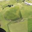
DP 093178 |
Oblique aerial view of the cropmarks of the palisaded enclosure with the farmhouse at Raebreck adjacent, looking to the SSE. |
23/7/2010 |
Item Level |
 |
On-line Digital Images |
DP 093179 |
General oblique aerial view of Blair Castle policies and the agricultural fair, looking to the NNE. |
23/7/2010 |
Item Level |
 |
On-line Digital Images |
DP 093180 |
General oblique aerial view of Logierait Mill and the cropmarks of the rig, looking to the N. |
23/7/2010 |
Item Level |
 |
On-line Digital Images |
DP 093181 |
General oblique aerial view of Logierait Mill and the cropmarks of the rig, looking to the NNW. |
23/7/2010 |
Item Level |
 |
On-line Digital Images |
DP 093183 |
Oblique aerial view of the cropmarks of the rig and trackway, looking to the ENE. |
23/7/2010 |
Item Level |
 |
On-line Digital Images |
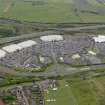
DP 093185 |
Oblique aerial view of the Fife Leisure Park, looking to the ENE. |
23/7/2010 |
Item Level |
 |
On-line Digital Images |
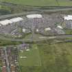
DP 093186 |
Oblique aerial view of the Fife Leisure Park, looking to the ENE. |
23/7/2010 |
Item Level |
 |
On-line Digital Images |
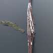
DP 093187 |
Oblique aerial view of the Forth Railway Bridge and Inch Garvie island, looking to the SSE. |
23/7/2010 |
Item Level |
 |
On-line Digital Images |
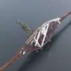
DP 093188 |
Oblique aerial view of the Forth Railway Bridge and Inch Garvie island, looking to the SE. |
23/7/2010 |
Item Level |
 |
On-line Digital Images |
DP 093189 |
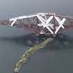
Oblique aerial view of the Forth Railway Bridge and Inch Garvie island, looking to the WSW. |
23/7/2010 |
Item Level |