|
Digital Files (Non-image) |
TM 000951 |
GPS recorded flight path and map for Sortie 2010/37 |
24/7/2010 |
Item Level |
 |
On-line Digital Images |
DP 093477 |
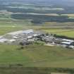
Oblique aerial view of Dalcross Airfield, Inverness, looking S. |
24/7/2010 |
Item Level |
 |
On-line Digital Images |
DP 093479 |
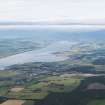
General oblique aerial view of the Cromarty Firth with Alness in the middle distance, looking WSW. |
24/7/2010 |
Item Level |
 |
On-line Digital Images |
DP 093481 |
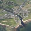
General oblique aerial view of Brora, looking NW. |
24/7/2010 |
Item Level |
 |
On-line Digital Images |
DP 093482 |
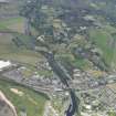
General oblique aerial view of Brora, looking W. |
24/7/2010 |
Item Level |
 |
On-line Digital Images |
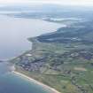
DP 093484 |
General oblique aerial view of the Sutherland coast with Brora in the foreground and Loch Fleet in the distance, looking NW. |
24/7/2010 |
Item Level |
 |
On-line Digital Images |
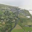
DP 093485 |
General oblique aerial view of Brora, looking E. |
24/7/2010 |
Item Level |
 |
On-line Digital Images |
DP 093487 |
Oblique aerial view centred on the wreck of the Totnes, looking N. |
24/7/2010 |
Item Level |
 |
On-line Digital Images |
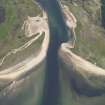
DP 093489 |
Oblique aerial view with the wreck of the Totnes in the foreground and Littleferry beyond, looking W. |
24/7/2010 |
Item Level |
 |
On-line Digital Images |
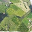
DP 093490 |
General oblique aerial view of the field patterns around Proncycroy, looking SE. |
24/7/2010 |
Item Level |
 |
On-line Digital Images |
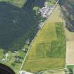
DP 093493 |
Oblique aerial view of the cropmarks formed by manure spreading at Evelix (NH79SE), looking ENE. |
24/7/2010 |
Item Level |
 |
On-line Digital Images |
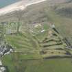
DP 093494 |
Oblique aerial view of Royal Dornoch golf course and airfield, looking ESE. |
24/7/2010 |
Item Level |
 |
On-line Digital Images |
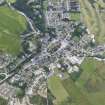
DP 093496 |
Oblique aerial view of Dornoch, looking NE. |
24/7/2010 |
Item Level |
 |
On-line Digital Images |
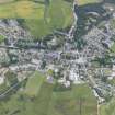
DP 093498 |
Oblique aerial view of Dornoch, looking N. |
24/7/2010 |
Item Level |
 |
On-line Digital Images |
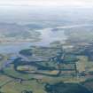
DP 093499 |
General oblique aerial view of the Dornoch Firth with Skibo Castle in the middle distance, looking W. |
24/7/2010 |
Item Level |
 |
On-line Digital Images |
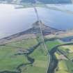
DP 093500 |
General oblique aerial view of the Dornoch Firth road bridge, looking S. |
24/7/2010 |
Item Level |
 |
On-line Digital Images |
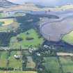
DP 093501 |
Oblique aerial view of Skibo Castle and grounds with the Carnegie Golf Course beyond, looking S. |
24/7/2010 |
Item Level |
 |
On-line Digital Images |
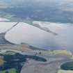
DP 093502 |
General oblique aerial view of the Dornoch Firth road bridge, looking SSE. |
24/7/2010 |
Item Level |
 |
On-line Digital Images |
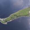
DP 093503 |
Oblique aerial view of Meikle Ferry, looking ENE. |
24/7/2010 |
Item Level |
 |
On-line Digital Images |
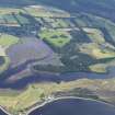
DP 093504 |
Oblique aerial view of the Carnegie Golf Course with Skibo Castle and grounds beyond, looking N. |
24/7/2010 |
Item Level |
 |
On-line Digital Images |
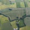
DP 093505 |
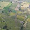
General oblique aerial view of Allan House centred on the cropmarks of the probable trackway, looking ENE. |
24/7/2010 |
Item Level |
 |
On-line Digital Images |
DP 093507 |
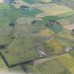
Oblique aerial view Fearn Airfield, looking NE. |
24/7/2010 |
Item Level |
 |
On-line Digital Images |
DP 093508 |
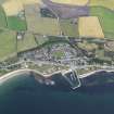
Oblique aerial view Fearn Airfield, looking N. |
24/7/2010 |
Item Level |
 |
On-line Digital Images |
DP 093511 |
Oblique aerial view of Balintore, looking NNW. |
24/7/2010 |
Item Level |


