|
Digital Files (Non-image) |
TM 000947 |
GPS recorded flight path and map for Sortie 2010/33 |
22/7/2010 |
Item Level |
 |
On-line Digital Images |
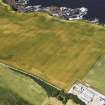
DP 091674 |
Oblique aerial view of the cropmarks of the ring ditch , rig and possible round house, looking to the NW. |
22/7/2010 |
Item Level |
 |
On-line Digital Images |
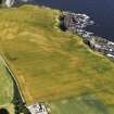
DP 091675 |
Oblique aerial view of the cropmarks of the ring ditch, rig and possible round house, looking to the WNW. |
22/7/2010 |
Item Level |
 |
On-line Digital Images |
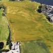
DP 091676 |
Oblique aerial view of the cropmarks of the ring ditch, rig and possible round house with Mains of Melrose in the foreground, looking to the W. |
22/7/2010 |
Item Level |
 |
On-line Digital Images |
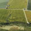
DP 091677 |
Oblique aerial view of the cropmarks of the pits, looking to the S. |
22/7/2010 |
Item Level |
 |
On-line Digital Images |
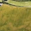
DP 091678 |
Oblique aerial view of the cropmarks of the ring ditch, rig and possible round house, looking to the SSE. |
22/7/2010 |
Item Level |
 |
On-line Digital Images |
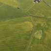
DP 091679 |
Oblique aerial view of the cropmarks of the barrows and pits, looking to the S. |
22/7/2010 |
Item Level |
 |
On-line Digital Images |
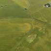
DP 091680 |
Oblique aerial view of the cropmarks of the barrows and pits, looking to the SSE. |
22/7/2010 |
Item Level |
 |
On-line Digital Images |
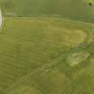
DP 091681 |
Oblique aerial view of the cropmarks of the barrows and pits, looking to the SE. |
22/7/2010 |
Item Level |
 |
On-line Digital Images |
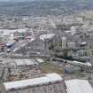
DP 091646 |
General oblique aerial view of Aberdeen, looking to the SW. |
22/7/2010 |
Item Level |
 |
On-line Digital Images |
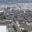
DP 091647 |
General oblique aerial view of Aberdeen, looking to the SW. |
22/7/2010 |
Item Level |
 |
On-line Digital Images |
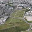
DP 091648 |
Oblique aerial view of Trinity Cemetery, Aberdeen, looking to the WSW. |
22/7/2010 |
Item Level |
 |
On-line Digital Images |
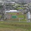
DP 091649 |
Oblique aerial view of Regent Walk and the games courts, Aberdeen, looking to the WSW. |
22/7/2010 |
Item Level |
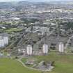 |
On-line Digital Images |
DP 091651 |
Oblique aerial view of Regent Walk and Seaton Cresent, Aberdeen, looking to the WSW. |
22/7/2010 |
Item Level |
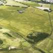 |
On-line Digital Images |
DP 091652 |
Oblique aerial view of Findlay Farm with the cropmarks of the archaeological evaluation trenches in the foreground, looking to the WSW. |
22/7/2010 |
Item Level |
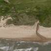 |
On-line Digital Images |
DP 091653 |
Oblique aerial view of the pillbox and anti-tank blocks on Drums Links, looking to the WNW. |
22/7/2010 |
Item Level |
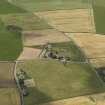 |
On-line Digital Images |
DP 091654 |
Oblique aerial view of St James' Chapel, Cruden, looking to the WSW. |
22/7/2010 |
Item Level |
 |
On-line Digital Images |
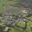
DP 091656 |
General oblique aerial view of Longside Village, looking to the WSW. |
22/7/2010 |
Item Level |
 |
On-line Digital Images |
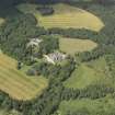
DP 091657 |
Oblique aerial view of Crimonmogate House, looking to the NW. |
22/7/2010 |
Item Level |
 |
On-line Digital Images |
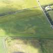
DP 091659 |
Oblique aerial view of the cropmarks of the possible pits, looking to the SW. |
22/7/2010 |
Item Level |
 |
On-line Digital Images |
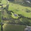
DP 091661 |
Oblique aerial view of Cairness House, looking to the SSW. |
22/7/2010 |
Item Level |
 |
On-line Digital Images |
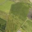
DP 091662 |
Oblique aerial view of the cropmarks of the pits, looking to the NW. |
22/7/2010 |
Item Level |
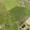 |
On-line Digital Images |
DP 091664 |
Oblique aerial view of the cropmarks of the pits, looking to the WNW. |
22/7/2010 |
Item Level |
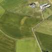 |
On-line Digital Images |
DP 091665 |
Oblique aerial view of the cropmarks of the rig and the sites of the farmsteads, looking to the WSW. |
22/7/2010 |
Item Level |


