|
Digital Files (Non-image) |
TM 000946 |
GPS recorded flight path and map for Sortie 2010/32 |
18/7/2010 |
Item Level |
 |
On-line Digital Images |
DP 091575 |
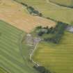
Oblique aerial view of the cropmarks of the enclosure, looking to the SE. |
18/7/2010 |
Item Level |
 |
On-line Digital Images |
DP 091449 |
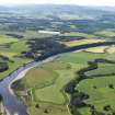
General oblique aerial view looking along the River Tay with Murthly in the middle distance, looking to the WSW. |
18/7/2010 |
Item Level |
 |
On-line Digital Images |
DP 091450 |
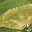
Oblique aerial view of the cropmarks of the rig, looking to the N. |
18/7/2010 |
Item Level |
 |
On-line Digital Images |
DP 091452 |
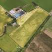
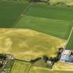
Oblique aerial view of the cropmarks of the field boundaries, looking to the N. |
18/7/2010 |
Item Level |
 |
On-line Digital Images |
DP 091454 |
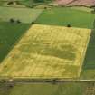
Oblique aerial view of the cropmarks of the rig, looking to the NNW. |
18/7/2010 |
Item Level |
 |
On-line Digital Images |
DP 091456 |
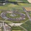
Oblique aerial view of the cropmarks of the field boundaries, looking to the NNW. |
18/7/2010 |
Item Level |
 |
On-line Digital Images |
DP 091457 |
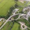
Oblique aerial view of the remains of the Communications Intercept Station at Edzell, looking to the NNW. |
18/7/2010 |
Item Level |
 |
On-line Digital Images |
DP 091459 |
Oblique aerial view of the bridges at Inverbervie, looking to the SE. |
18/7/2010 |
Item Level |
 |
On-line Digital Images |
DP 091460 |
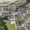
Oblique aerial view of Inverbervie, looking to the SW. |
18/7/2010 |
Item Level |
 |
On-line Digital Images |
DP 091461 |
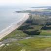
General oblique aerial view from the mouth of the River North Esk along the Links of Montrose towards Montrose, looking to the SSE. |
18/7/2010 |
Item Level |
 |
On-line Digital Images |
DP 091462 |
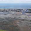
Oblique aerial view of the Montrose Basin at low tide centred on Dronner's Dyke, looking to the E. |
18/7/2010 |
Item Level |
 |
On-line Digital Images |
DP 091463 |
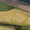
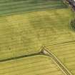
Oblique aerial view of the cropmarks of the round houses and field boundary, looking to the ENE. |
18/7/2010 |
Item Level |
 |
On-line Digital Images |
DP 091464 |
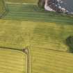
Oblique aerial view of the cropmarks of the rig, looking to the ENE. |
18/7/2010 |
Item Level |
 |
On-line Digital Images |
DP 091466 |
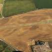
Oblique aerial view of the cropmarks of the rig, looking to the NE. |
18/7/2010 |
Item Level |
 |
On-line Digital Images |
DP 091468 |
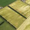
Oblique aerial view of the cropmarks of the buildings at the former airfield, looking to the SSE. |
18/7/2010 |
Item Level |
 |
On-line Digital Images |
DP 091469 |
Oblique aerial view of the cropmarks of the rig, looking to the N. |
18/7/2010 |
Item Level |
 |
On-line Digital Images |
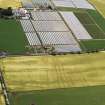
DP 091470 |
Oblique aerial view of the cropmarks of the enclosure and rig, looking to the NNW. |
18/7/2010 |
Item Level |
 |
On-line Digital Images |
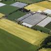
DP 091472 |
Oblique aerial view of the cropmarks of the enclosure and rig, looking to the W. |
18/7/2010 |
Item Level |
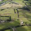 |
On-line Digital Images |
DP 091445 |
Oblique aerial view of the T in the Park campsite, looking to the WSW. |
18/7/2010 |
Item Level |
 |
On-line Digital Images |
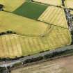
DP 091446 |
Oblique aerial view of the cropmarks of the rig and field boundaries, looking to the NW. |
18/7/2010 |
Item Level |
 |
On-line Digital Images |
DP 091447 |
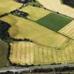
Oblique aerial view of the cropmarks of the rig and field boundaries, looking to the WNW. |
18/7/2010 |
Item Level |
 |
On-line Digital Images |
DP 091448 |
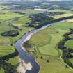
General oblique aerial view looking along the River Tay with Murthly in the middle distance, looking to the WSW. |
18/7/2010 |
Item Level |


