|
Digital Files (Non-image) |
TM 000944 |
GPS recorded flight path and map for Sortie 2010/30 |
13/7/2010 |
Item Level |
 |
On-line Digital Images |
DP 091082 |
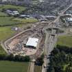
General oblique aerial view of the Edinburgh Tram Scheme station under construction with Gogar roundabout beyond, taken from the WSW. |
13/7/2010 |
Item Level |
 |
On-line Digital Images |
DP 091084 |
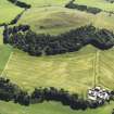
General oblique aerial view of the remainsof the fort on Quothquan Law, taken from the WSW. |
13/7/2010 |
Item Level |
 |
On-line Digital Images |
DP 091085 |
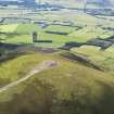
Oblique aerial view of the remains of the cairn on Tinto Hill, with the Upper Clyde valley beyond, taken from the NW. |
13/7/2010 |
Item Level |
 |
On-line Digital Images |
DP 091086 |
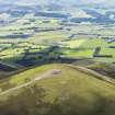
Oblique aerial view of the remains of the cairn on Tinto Hill, with the Upper Clyde valley beyond, taken from the WNW. |
13/7/2010 |
Item Level |
 |
On-line Digital Images |
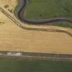
DP 091088 |
Oblique aerial view of the probably agricultural cropmark at Baldoon airfield, taken from the SW. |
13/7/2010 |
Item Level |
 |
On-line Digital Images |
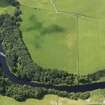
DP 091089 |
Oblique aerial view of the grassmarks of the Roman fortlet, taken from the NNE. |
13/7/2010 |
Item Level |
 |
On-line Digital Images |
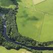
DP 091090 |
Oblique aerial view of the grassmarks of the Roman fortlet, taken from the N. |
13/7/2010 |
Item Level |
 |
On-line Digital Images |
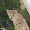
DP 091091 |
Oblique aerial view of the soilmarks of the enclosure, taken from the N. |
13/7/2010 |
Item Level |
 |
On-line Digital Images |
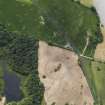
DP 091092 |
Oblique aerial view of the soilmarks of the enclosure, taken from the NNW. |
13/7/2010 |
Item Level |
 |
On-line Digital Images |
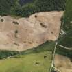
DP 091093 |
Oblique aerial view of the soilmarks of the enclosure, taken from the W. |
13/7/2010 |
Item Level |
 |
On-line Digital Images |
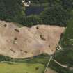
DP 091094 |
Oblique aerial view of the soilmarks of the enclosure, taken from the WSW. |
13/7/2010 |
Item Level |
 |
On-line Digital Images |
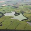
DP 091095 |
General oblique aerial view of Soulseat Loch with an algal bloom, taken from the NE. |
13/7/2010 |
Item Level |
 |
On-line Digital Images |
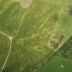
DP 091096 |
Oblique aerial view of the cropmarks of the palisaded enclosure, taken from the SE. |
13/7/2010 |
Item Level |
 |
On-line Digital Images |
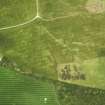
DP 091097 |
Oblique aerial view of the cropmarks of the palisaded enclosure, taken from the ENE. |
13/7/2010 |
Item Level |
 |
On-line Digital Images |
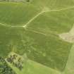
DP 091100 |
Oblique aerial view of the cropmarks of the palisaded enclosure, taken from the NE. |
13/7/2010 |
Item Level |
 |
On-line Digital Images |
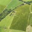
DP 091103 |
Oblique aerial view of the cropmarks of the palisaded enclosure, taken from the NNW. |
13/7/2010 |
Item Level |
 |
On-line Digital Images |
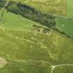
DP 091104 |
Oblique aerial view of the cropmarks of the palisaded enclosure, taken from the SW. |
13/7/2010 |
Item Level |
 |
On-line Digital Images |
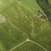
DP 091105 |
Oblique aerial view of the cropmarks of the palisaded enclosure, taken from the SSW. |
13/7/2010 |
Item Level |
 |
On-line Digital Images |
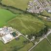
DP 091106 |
Oblique aerial view of Duchra Farm and the cropmarks of the palisaded enclosure and possible souterrain, taken from the SW. |
13/7/2010 |
Item Level |
 |
On-line Digital Images |
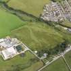
DP 091107 |
Oblique aerial view of Duchra Farm and the cropmarks of the palisaded enclosure and possible souterrain, taken from the SSW. |
13/7/2010 |
Item Level |
 |
On-line Digital Images |
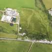
DP 091108 |
Oblique aerial view of Duchra Farm and the cropmarks of the palisaded enclosure and possible souterrain, taken from the SSE. |
13/7/2010 |
Item Level |
 |
On-line Digital Images |
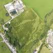
DP 091109 |
Oblique aerial view of Duchra Farm and the cropmarks of the palisaded enclosure and possible souterrain, taken from the E. |
13/7/2010 |
Item Level |
 |
On-line Digital Images |
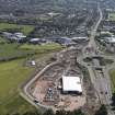
DP 091081 |
General oblique aerial view of the Edinburgh Tram Scheme station under construction with Gogar roundabout beyond, taken from the W. |
13/7/2010 |
Item Level |


