|
Digital Files (Non-image) |
TM 000941 |
GPS recorded flight path and map for Sortie 2010/27 |
29/6/2010 |
Item Level |
 |
On-line Digital Images |
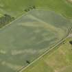
DP 090581 |
Oblique aerial view of the cropmarks of the palisaded enclosure, taken from the NW. |
29/6/2010 |
Item Level |
 |
On-line Digital Images |
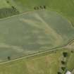
DP 090582 |
Oblique aerial view of the cropmarks of the palisaded enclosure, taken from the W. |
29/6/2010 |
Item Level |
 |
On-line Digital Images |
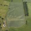
DP 090583 |
Oblique aerial view of the cropmarks of the palisaded enclosure, taken from the SSE. |
29/6/2010 |
Item Level |
 |
On-line Digital Images |
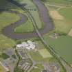
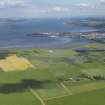
DP 090584 |
General oblique aerial view of the A91 crossing the River Forth and the newly constructed St Modan's Catholic High School, taken from the SSW |
29/6/2010 |
Item Level |
 |
On-line Digital Images |
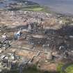
DP 090585 |
General oblique aerial view looking across Gragemouth down the Forth towards the bridges, taken from the W. |
29/6/2010 |
Item Level |
 |
On-line Digital Images |
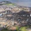
DP 090586 |
General oblique aerial view of Grangemouth oil refinery, taken from the S. |
29/6/2010 |
Item Level |
 |
On-line Digital Images |
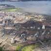
DP 090587 |
General oblique aerial view of Grangemouth oil refinery, taken from the S. |
29/6/2010 |
Item Level |
 |
On-line Digital Images |
DP 090588 |
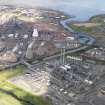
General oblique aerial view of Grangemouth oil refinery, taken from the SSE. |
29/6/2010 |
Item Level |
 |
On-line Digital Images |
DP 090589 |
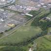
General oblique aerial view of Grangemouth oil refinery, taken from the SSE. |
29/6/2010 |
Item Level |
 |
On-line Digital Images |
DP 090590 |
Oblique aerial view of the cropmarks of the Antonine Wall at Inveravon, taken from the SW. |
29/6/2010 |
Item Level |
 |
On-line Digital Images |
DP 090555 |
Oblique aerial view centred on the parchmarks of the barrow at Moy Holdings, taken from the NW. |
29/6/2010 |
Item Level |
 |
On-line Digital Images |
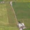
DP 090556 |
Oblique aerial view centred on the parchmarks of the barrow at Moy Holdings, taken from the NW. |
29/6/2010 |
Item Level |
 |
On-line Digital Images |
DP 090557 |
Oblique aerial view centred on the parchmarks of the barrow at Moy Holdings, taken from the WNW. |
29/6/2010 |
Item Level |
 |
On-line Digital Images |
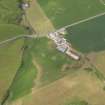
DP 090558 |
Oblique aerial view centred on the parchmarks of the barrow at Moy Holdings, taken from the W. |
29/6/2010 |
Item Level |
 |
On-line Digital Images |
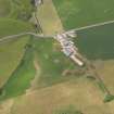
DP 090560 |
Oblique aerial view centred on the parchmarks of the pits at Low Smerby, taken from the SE. |
29/6/2010 |
Item Level |
 |
On-line Digital Images |
DP 090561 |
Oblique aerial view centred on the parchmarks of the pits at Low Smerby, taken from the ESE. |
29/6/2010 |
Item Level |
 |
On-line Digital Images |
DP 090562 |
Oblique aerial view centred on the remains of the Kildonan Bay dun, taken from the ESE. |
29/6/2010 |
Item Level |
 |
On-line Digital Images |
DP 090563 |
General oblique aerial view looking up Carradale with the bay in foreground, taken from the SE. |
29/6/2010 |
Item Level |
 |
On-line Digital Images |
DP 090564 |
General oblique aerial view looking up Carradale with the bay in foreground, taken from the SE. |
29/6/2010 |
Item Level |
 |
On-line Digital Images |
DP 090565 |
General oblique aerial view looking across Carradale Bay, taken from the NNE. |
29/6/2010 |
Item Level |
 |
On-line Digital Images |
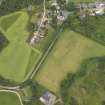
DP 090566 |
Oblique aerial view of Tosh's Park, Carradale, taken from the W. |
29/6/2010 |
Item Level |
 |
On-line Digital Images |
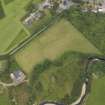
DP 090567 |
Oblique aerial view of Tosh's Park, Carradale, taken from the SW. |
29/6/2010 |
Item Level |
 |
On-line Digital Images |
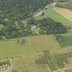
DP 090568 |
Oblique aerial view of Carradale House and policies, taken from the S. |
29/6/2010 |
Item Level |


