|
Digital Files (Non-image) |
TM 000933 |
GPS recorded flight path and map for Sortie 2010/19 |
15/6/2010 |
Item Level |
 |
On-line Digital Images |
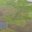
DP 082002 |
Oblique aerial view of the farmsteads and field systems, with the Gossa Water in the foreground and Westing beyond, looking WSW. |
15/6/2010 |
Item Level |
 |
On-line Digital Images |
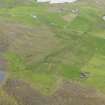
DP 082003 |
Oblique aerial view of the farmsteads and field systems, with the Gossa Water in the foreground and Westing beyond, looking WSW. |
15/6/2010 |
Item Level |
 |
On-line Digital Images |
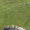
DP 082004 |
Oblique aerial view of the Broch of Underhoull and the field systems, looking E. |
15/6/2010 |
Item Level |
 |
On-line Digital Images |
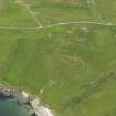
DP 082005 |
Oblique aerial view of the Broch of Underhoull and the field systems, looking ENE. |
15/6/2010 |
Item Level |
 |
On-line Digital Images |
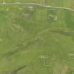
DP 082006 |
Oblique aerial view of the farmsteads, the Broch of Underhoull and the field systems, looking NE. |
15/6/2010 |
Item Level |
 |
On-line Digital Images |
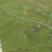
DP 082007 |
Oblique aerial view of the Broch of Underhoull and the field systems, looking NNE. |
15/6/2010 |
Item Level |
 |
On-line Digital Images |
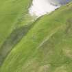
DP 082008 |
Oblique aerial view of Vinstrick, looking NW. |
15/6/2010 |
Item Level |
 |
On-line Digital Images |
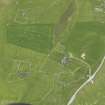
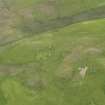
DP 082009 |
Oblique aerial view of the farmsteads, looking NW. |
15/6/2010 |
Item Level |
 |
On-line Digital Images |
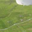
DP 082010 |
Oblique aerial view of the farmsteads, looking WSW. |
15/6/2010 |
Item Level |
 |
On-line Digital Images |
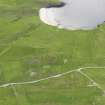
DP 082011 |
Oblique aerial view of the Broch of Underhoull and the field systems, looking WSW. |
15/6/2010 |
Item Level |
 |
On-line Digital Images |
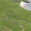
DP 082012 |
Oblique aerial view of the Broch of Underhoull and the field systems, looking WSW. |
15/6/2010 |
Item Level |
 |
On-line Digital Images |
DP 082013 |
Oblique aerial view of the Broch of Underhoull and the field systems, looking SSW. |
15/6/2010 |
Item Level |
 |
On-line Digital Images |
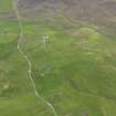
DP 082015 |
General oblique aerial view of the farmsteads, looking S. |
15/6/2010 |
Item Level |
 |
On-line Digital Images |
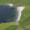
DP 082017 |
Oblique aerial view across the bay towards the Ness of Vinstrick, looking NE. |
15/6/2010 |
Item Level |
 |
On-line Digital Images |
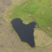
DP 082019 |
Oblique aerial view of the Loch of Snabrough Broch and the farmsteads, looking N. |
15/6/2010 |
Item Level |
 |
On-line Digital Images |
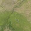
DP 082021 |
Oblique aerial view of the farmstead and field systems, looking NW. |
15/6/2010 |
Item Level |
 |
On-line Digital Images |
DP 082023 |
Oblique aerial view of the Loch of Snabrough Broch and the farmsteads, looking SW. |
15/6/2010 |
Item Level |
 |
On-line Digital Images |
DP 082025 |
Oblique aerial view of the buildings and field systems, looking NE. |
15/6/2010 |
Item Level |
 |
On-line Digital Images |
DP 082026 |
Oblique aerial view of Belmont House, looking NE |
15/6/2010 |
Item Level |
 |
On-line Digital Images |
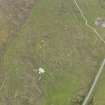
DP 082027 |
Oblique aerial view of the buildings and field systems, looking SSW. |
15/6/2010 |
Item Level |
 |
On-line Digital Images |
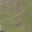
DP 082028 |
Oblique aerial view of the buildings and field systems, looking S. |
15/6/2010 |
Item Level |
 |
On-line Digital Images |
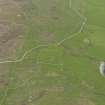
DP 082029 |
Oblique aerial view of the field banks and enclosure, looking E. |
15/6/2010 |
Item Level |
 |
On-line Digital Images |
DP 082030 |
General oblique aerial view of the southern flank of Gallow Hill, Unst, looking E. |
15/6/2010 |
Item Level |


