|
Digital Files (Non-image) |
TM 000930 |
GPS recorded flight path and map for Sortie 2010/16 |
3/6/2010 |
Item Level |
 |
On-line Digital Images |
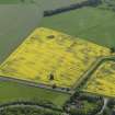
DP 089686 |
Oblique aerial view centred on the cropmarks of the drains at Huttonburn Bridge, taken from the NW.
|
3/6/2010 |
Item Level |
 |
On-line Digital Images |
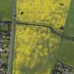
DP 089687 |
Oblique aerial view centred on the cropmarks of the drains at Huttonburn Bridge, taken from the SW. |
3/6/2010 |
Item Level |
 |
On-line Digital Images |
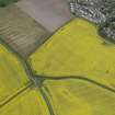
DP 089693 |
Oblique aerial view of the cropmarks of the rig and furrow, taken from the ENE. |
3/6/2010 |
Item Level |
 |
On-line Digital Images |
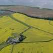
DP 089697 |
General oblique aerial view looking over New Farm towards the Reed Beds on the River Tay, taken from the WNW. |
3/6/2010 |
Item Level |
 |
On-line Digital Images |
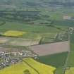
DP 089700 |
General oblique aerial view looking over Errol towards the cropmarks of the rig and furrow, taken from the SSE. |
3/6/2010 |
Item Level |
 |
On-line Digital Images |
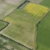
DP 089702 |
Oblique aerial view of the cropmarks of the rig and furrow, taken from the NNE. |
3/6/2010 |
Item Level |
 |
On-line Digital Images |
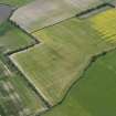
DP 089703 |
Oblique aerial view of the cropmarks of the rig and furrow, taken from the N. |
3/6/2010 |
Item Level |
 |
On-line Digital Images |
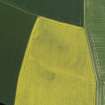
DP 089713 |
Oblique aerial view of the cropmarks of the enclosure, taken from the NNE. |
3/6/2010 |
Item Level |
 |
On-line Digital Images |
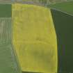
DP 089714 |
Oblique aerial view of the cropmarks of the enclosure, taken from the N. |
3/6/2010 |
Item Level |
 |
On-line Digital Images |
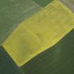
DP 089718 |
Oblique aerial view of the cropmarks of the enclosure, taken from the SSW. |
3/6/2010 |
Item Level |
 |
On-line Digital Images |
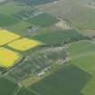
DP 089720 |
Oblique aerial view of the cropmarks of the enclosure, taken from the SSE. |
3/6/2010 |
Item Level |
 |
On-line Digital Images |
DP 089721 |
General oblique aerial view of the cropmarks of the rig and furrow, taken from the NNE. |
3/6/2010 |
Item Level |
 |
On-line Digital Images |
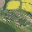
DP 089724 |
Oblique aerial view of the cropmarks of the rig and furrow, taken from the N. |
3/6/2010 |
Item Level |
 |
On-line Digital Images |
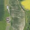
DP 089726 |
Oblique aerial view of the cropmarks of the rig and furrow, taken from the WNW. |
3/6/2010 |
Item Level |
 |
On-line Digital Images |
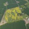
DP 089730 |
Oblique aerial view of the cropmarks of the possible building and the rig and furrow, taken from the N. |
3/6/2010 |
Item Level |
 |
On-line Digital Images |
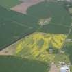
DP 089732 |
Oblique aerial view of the cropmarks of the possible building and the rig and furrow, taken from the SSE. |
3/6/2010 |
Item Level |
 |
On-line Digital Images |
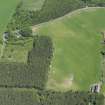
DP 089737 |
Oblique aerial view of the cropmarks of the rig and furrow with the farmstead adjacent, taken from the WSW. |
3/6/2010 |
Item Level |
 |
On-line Digital Images |
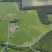
DP 089742 |
Oblique aerial view of the cropmarks of the rig and furrow with the farmstead adjacent, taken from the ENE. |
3/6/2010 |
Item Level |
 |
On-line Digital Images |
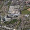
DP 089753 |
Oblique aerial view of the construction works at the Royal Victoria Hospital, Kirkcaldy, taken fromt he WSW. |
3/6/2010 |
Item Level |


