|
Digital Files (Non-image) |
TM 000918 |
GPS recorded flight path and map for Sortie 2010/04 |
2/3/2010 |
Item Level |
 |
On-line Digital Images |
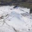
DP 086212 |
Oblique aerial view of the fort and settlements on Bonchester Hill, looking WNW. |
2/3/2010 |
Item Level |
 |
On-line Digital Images |
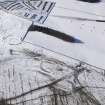
DP 086213 |
Oblique aerial view of the settlement on Bonchester Hill, looking WNW. |
2/3/2010 |
Item Level |
 |
On-line Digital Images |
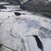
DP 086214 |
Oblique aerial view of the fort and settlements on Bonchester Hill, looking SW. |
2/3/2010 |
Item Level |
 |
On-line Digital Images |
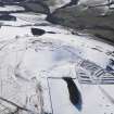
DP 086215 |
Oblique aerial view of the fort and settlements on Bonchester Hill, looking SW. |
2/3/2010 |
Item Level |
 |
On-line Digital Images |
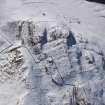
DP 086216 |
Oblique aerial view of the fort on Rubers Law, looking SW. |
2/3/2010 |
Item Level |
 |
On-line Digital Images |
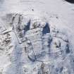
DP 086217 |
Oblique aerial view of the fort on Rubers Law, looking SSW. |
2/3/2010 |
Item Level |
 |
On-line Digital Images |
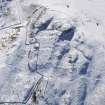
DP 086218 |
Oblique aerial view of the fort on Rubers Law, looking S. |
2/3/2010 |
Item Level |
 |
On-line Digital Images |
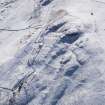
DP 086219 |
Oblique aerial view of the fort on Rubers Law, looking S. |
2/3/2010 |
Item Level |
 |
On-line Digital Images |
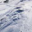
DP 086220 |
Oblique aerial view of the fort on Rubers Law, looking SSE. |
2/3/2010 |
Item Level |
 |
On-line Digital Images |
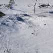
DP 086221 |
Oblique aerial view of the fort on Rubers Law, looking ESE. |
2/3/2010 |
Item Level |
 |
On-line Digital Images |
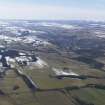
DP 086222 |
General oblique aerial view with Hawick in the distance, looking WSW. |
2/3/2010 |
Item Level |
 |
On-line Digital Images |
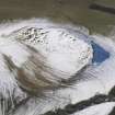
DP 086224 |
Oblique aerial view of the rig and terraces on Minto Hill, looking W. |
2/3/2010 |
Item Level |
 |
On-line Digital Images |
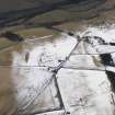
DP 086226 |
Oblique aerial view of the fort at Craigend, looking WSW. |
2/3/2010 |
Item Level |
 |
On-line Digital Images |
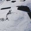
DP 086228 |
Oblique aerial view of Corsehope Rings, looking WSW. |
2/3/2010 |
Item Level |
 |
On-line Digital Images |
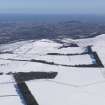
DP 085911 |
General oblique aerial view of Edinburgh, looking NE. |
2/3/2010 |
Item Level |
 |
On-line Digital Images |
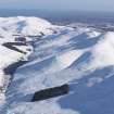
DP 085912 |
General oblique aerial view of Pentland Hills and Loganlee Reservoir under snow, looking ENE. |
2/3/2010 |
Item Level |
 |
On-line Digital Images |
DP 085913 |
General oblique aerial view of Pentland Hills under snow with Carnethy Hill in the centre, looking ENE. |
2/3/2010 |
Item Level |
 |
On-line Digital Images |
DP 085914 |
General oblique aerial view of South Black Hill, Pentland Hills under snow, looking E. |
2/3/2010 |
Item Level |
 |
On-line Digital Images |
DP 085915 |
General oblique aerial view of the settlement under snow, looking ESE. |
2/3/2010 |
Item Level |
 |
On-line Digital Images |
DP 085916 |
General oblique aerial view of the settlement under snow, looking ESE. |
2/3/2010 |
Item Level |
 |
On-line Digital Images |
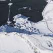
DP 085917 |
Oblique aerial view of the lime kilns and quarry under snow, looking SE. |
2/3/2010 |
Item Level |
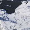 |
On-line Digital Images |
DP 085918 |
Oblique aerial view of the lime kilns and quarry, looking SE. |
2/3/2010 |
Item Level |
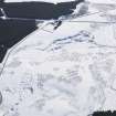 |
On-line Digital Images |
DP 085919 |
Oblique aerial view of lime kilns and quarries under snow, looking SE. |
2/3/2010 |
Item Level |


