Pricing Change
New pricing for orders of material from this site will come into place shortly. Charges for supply of digital images, digitisation on demand, prints and licensing will be altered.
Blacket House
Tower House (Medieval)
Site Name Blacket House
Classification Tower House (Medieval)
Alternative Name(s) Blacket Tower; Blackwood Tower; Blackethouse
Canmore ID 67157
Site Number NY27SW 5
NGR NY 24338 74369
Datum OSGB36 - NGR
Permalink http://canmore.org.uk/site/67157
- Council Dumfries And Galloway
- Parish Middlebie
- Former Region Dumfries And Galloway
- Former District Annandale And Eskdale
- Former County Dumfries-shire
NY27SW 5 24338 74369
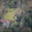
For successor and present country house (NY 2432 7432), see NY27SW 24.
(NY 24338 74369) Blacket House (NR) (Remains of)
OS 25" map (1899)
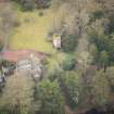
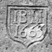
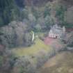
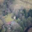
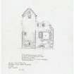
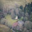
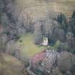
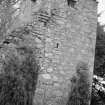
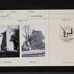
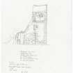
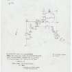
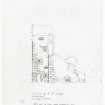
A ruined tower, 21 ft x 15 ft 6 ins, with a projecting staircase wing 10 ft 6ins by 12 ft 6 in at Blacket or Blackwood House, near the modern house of the same name. On the lintel of the short wing is the date 1663. Foundations of NE and SE walls of the main block each with indications of a narrow short hole, remained in 1912. Blackethouse is mentioned in 1584.
RCAHMS 1920.
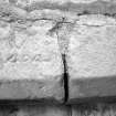
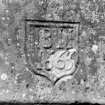
Generally as described and planned by RCAHMS except that the NE and SE walls stand to roof height. On the inside lintel of the short wing is the inscription 17 GB IK 14, possibly suggesting an addition or alteration to the earlier structure. Name 'Blacket House' confirmed.
Visited by OS (RD) 19 October 1967
No change to previous field report.
Visited by OS (IA) 21 February 1973.
Description:
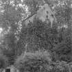
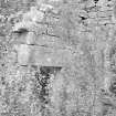
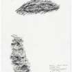
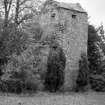
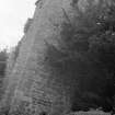
Ruined L-plan tower house. Jamb survives to full height, with crow-stepped gables and stone-slabbed roof, only fragments of tower walls survive and these show signs of rebuilding.
Coursed rubble, with ashlar dressings. Door in re-entrant angle, chamfered openings light stair, larger openings and
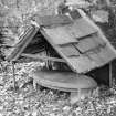
flight-holes at top level, (converted in 19th century as dovecot and as a study, circa 1950). Wall extends obliquely
from W side (stone mask set above angle) with gateway, outer lintel dated 1663, inner lintel dated 1714.
Elliptical marble memorial to Pearce Smith who died in Naples, 1797.
Notes:
Inscribed lintels also bear initials of members of the Bell family.
1404 incised date is bogus. Said to be home of Bell, who killed "fair Helen of Kirkconnel Lea" (although contradicted
in Groome GAZETTEER, n.d. 2nd ed vol IV pp 417-8).
References:
RCAHM, INVENTORY OF DUMFRIES, 1920. no 460.
De-listed September 2009
Information from Historic Scotland.
Note (1997)
NY 2433 7437 NY27SW 5
Listed as tower.
RCAHMS 1997.


