Wedderburn Castle
Country House (Period Unassigned), Inscribed Stone (Period Unknown)
Site Name Wedderburn Castle
Classification Country House (Period Unassigned), Inscribed Stone (Period Unknown)
Canmore ID 59748
Site Number NT85SW 14
NGR NT 80838 52854
Datum OSGB36 - NGR
Permalink http://canmore.org.uk/site/59748
- Council Scottish Borders, The
- Parish Duns
- Former Region Borders
- Former District Berwickshire
- Former County Berwickshire
NT85SW 14.00 80838 52854
NT85SW 14.01 80530 53228 The Lion Gate
NT85SW 14.02 80088 52555 West Lodge
NT85SW 14.03 80611 52953 Stable Block
NT85SW 2 81306 52824 Wedderburn Park, Burial Ground
NMRS REFERENCE:
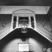
Architect: Robert Adam 1767/71. Clerk of Works, James Nisbet
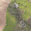
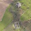
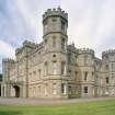
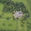
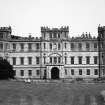
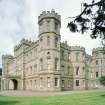
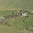
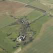
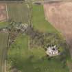
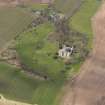
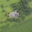
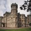
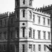
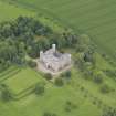
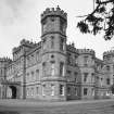
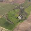
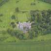
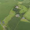
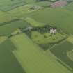
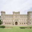
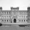
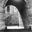
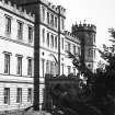
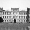
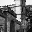
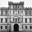
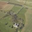
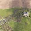
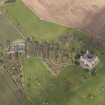
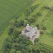
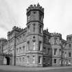
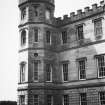
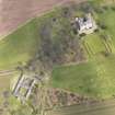
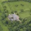
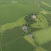
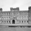
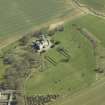
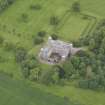
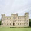
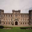
(NT 80838 52854) Wedderburn Castle: A large, three storeyed battlemented mansion, built about 1770-5. A heraldic panel, built into the SE wall of the courtyard at first storey level, has been inserted from an earlier, 17th century house on the site.
SDD undated; RCAHMS 1915.
N.M.R.S. Scottish Record Office, GD/267/22/7 References to chimneypieces - typescript
and building (1771) 1774-5
Field Visit (21 October 1908)
122. Heraldic Panel, Wedderburn Castle.
Built into the south-east wall of the courtyard of Wedderburn Castle, at the level of the first storey, is a panel bearing arms: A lion rampant. Above, on a helmet, a stag's head for crest. Underneath there is inscribed on a scroll - GEO. HUM. DNO DE WEDDERBRUN ME FCAT FIERE. The blunders in the inscription are probably due to re-cutting.
See Ber. Nat. Club, 1876-78, p. 206; Nisbet's Heraldry, i. p. 272.
RCAHMS 1915, visited 21st October 1908.
OS Map: Ber., xvi. SE.
Photographic Survey (1956)
Photographic survey by the Scottish National Buildings Record in 1956.
Sbc Note
Visibility: This is an upstanding building.
Information from Scottish Borders Council.


