
Whitelaw Hill


Pit Alignment (Prehistoric)
Site Name Whitelaw Hill
Classification Pit Alignment (Prehistoric)
Canmore ID 56448
Site Number NT57SE 53
NGR NT 57402 71542
NGR Description Centre
Datum OSGB36 - NGR
Permalink http://canmore.org.uk/site/56448


- Council East Lothian
- Parish Whittingehame
- Former Region Lothian
- Former District East Lothian
- Former County East Lothian
NT57SE 53 NT 57399 71428
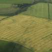
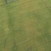
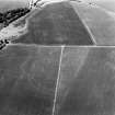
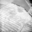
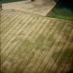
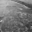
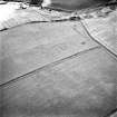
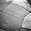
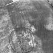
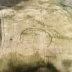
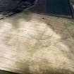
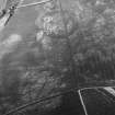
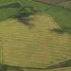
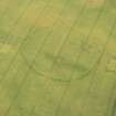
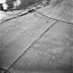
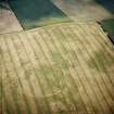
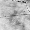
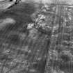
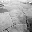
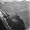
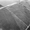
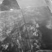
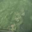
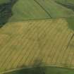
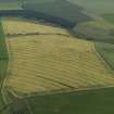
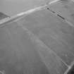
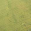
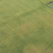
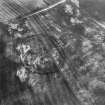
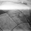
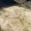
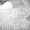
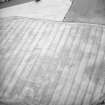
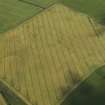
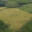
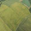
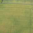
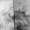
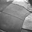
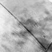
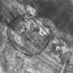
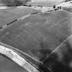
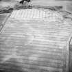
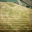
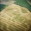
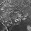
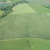
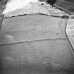
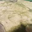
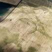
The cropmarks of a pit-alignment have been identified on oblique aerial photographs (RCAHMSAP 1979, 1995), 750m SE of Whitelaw farmsteading. It is visible for about 220m (NT c.5728 7154 to NT c.5750 7156), aligned from E-WSW and to W. There is a gap in the pit-alignment (NT c.5732 7154) of about 20m, and it ends approximately 30m from the SE side of Whitelaw Hill fort (NT57SE 17).
Information from RCAHMS (KJ) 7 May 1999.
Note (12 December 2019)
The location, classification and period of this site have been reviewed.

