Pricing Change
New pricing for orders of material from this site will come into place shortly. Charges for supply of digital images, digitisation on demand, prints and licensing will be altered.
Burnhead Of Monboddo
Pit(S) (Prehistoric), Souterrain(S) (Prehistoric), Unenclosed Settlement (Prehistoric)
Site Name Burnhead Of Monboddo
Classification Pit(S) (Prehistoric), Souterrain(S) (Prehistoric), Unenclosed Settlement (Prehistoric)
Canmore ID 36454
Site Number NO77NW 28
NGR NO 7484 7926
Datum OSGB36 - NGR
Permalink http://canmore.org.uk/site/36454
- Council Aberdeenshire
- Parish Fordoun
- Former Region Grampian
- Former District Kincardine And Deeside
- Former County Kincardineshire
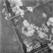
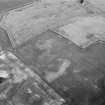
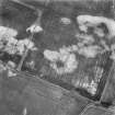
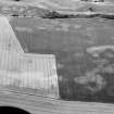
The Ordnance Survey Name Book (ONB, 1863) records the discovery of a granite cist at NO 7481 7918 in 1813. It is possible that this is related to the cropmark complex to the NE. See NO77NW 12 for details.
Name Book 1863.
Noted by Aberdeenshire Archaeological Service as unenclosed settlement.
NMRS, MS/712/17.
GRC/AAS air photographic coverage listed.
NMRS, MS/712/19.
Field Visit (October 1981)
Burnhead of Monboddo 1 NO 748 792 NO77NW
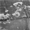
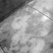
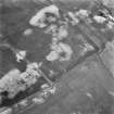
The cropmark of a ring-ditch is revealed 250m ENE of Burnhead of Monboddo farm house; it measures about 20m in diameter within a narrow ditch.
RCAHMS 1981, visited October 1981


