
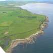
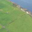
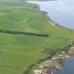
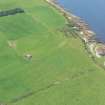
Castlehaven


Stone Circle (Neolithic) - (Bronze Age)(Possible)
Site Name Castlehaven
Classification Stone Circle (Neolithic) - (Bronze Age)(Possible)
Canmore ID 15614
Site Number NH98NW 10
NGR NH 9297 8717
Datum OSGB36 - NGR
Permalink http://canmore.org.uk/site/15614


- Council Highland
- Parish Tarbat
- Former Region Highland
- Former District Ross And Cromarty
- Former County Ross And Cromarty
NH98NW 10 9297 8717.
(NH 9297 8717) Circular soil mark of ? stone circle and a standing stone, visible on an OS air photograph (71.116: 170)
OS 6" map, annotated by Anon, nd.

