Scheduled Maintenance
Please be advised that this website will undergo scheduled maintenance on the following dates: •
Tuesday 3rd December 11:00-15:00
During these times, some services may be temporarily unavailable. We apologise for any inconvenience this may cause.
Fast Castle
Castle (Medieval)
Site Name Fast Castle
Classification Castle (Medieval)
Alternative Name(s) Fastcastle; Fast Castle Head
Canmore ID 59944
Site Number NT87SE 1
NGR NT 86101 71047
Datum OSGB36 - NGR
Permalink http://canmore.org.uk/site/59944
- Council Scottish Borders, The
- Parish Coldingham
- Former Region Borders
- Former District Berwickshire
- Former County Berwickshire
NT87SE 1 86101 71047
(NT 8611 7104) Fast Castle (NR) (Ruins).
OS 6" map, Berwickshire, 2nd ed., (1908).
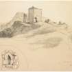
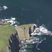
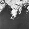
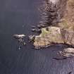
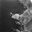
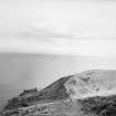
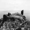
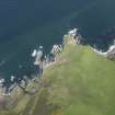
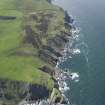
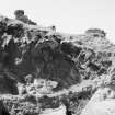
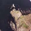
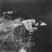
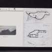
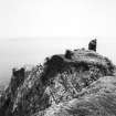
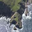
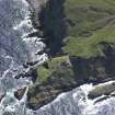
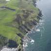
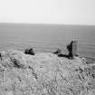
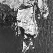
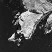
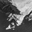
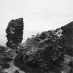
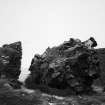
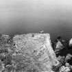
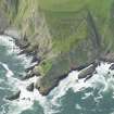
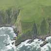
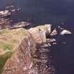
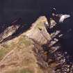
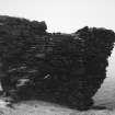
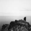
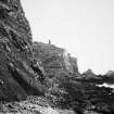
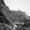
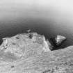
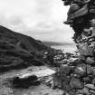
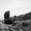
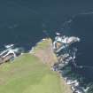
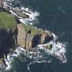
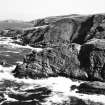
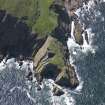
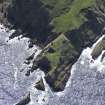
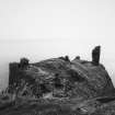
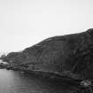
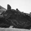
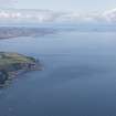
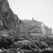
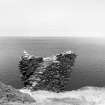
The remains of Fast Castle stand on a plateau, 88ft x 266ft, a promontory almost surrounded by cliffs falling some 100 to 150 feet. A modern footbridge has replaced the drawbridge which spanned the narrow chasm separating the promontory from the mainland. The plateau was fringed by a curtain wall, of which all that remains is a portion of the tower at the drawbridge entrance. Of the castle itself only a part of the wall forming the north-east corner of 'The Halle' (see W Douglas 1921 plan based on an original made in 1549 - figs.2 and 3) remains, to the height of the corbels.
The first mention of the castle was in 1333, but the first authoritative date is 1404. The walls were levelled soon after 1515 and the castle was rebuilt in 1521.
A A Carr 1836; W Douglas 1921.
Generally as described above, but footings of the range of buildings shown along the NW edge of the promontory on Douglas's plan can also still be seen.
Revised at 1/2500.
Visited by OS (WDJ) 18 February 1966.
A series of excavations have been carried out at Fast Castle between 1975 and 1984 by the Edinburgh Archaeological Field Society. Brief reports of their results are given by the authorities quoted.
E Robertson 1975-1982; K L Mitchell 1984; K R Murdoch 1985.
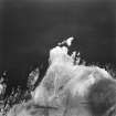
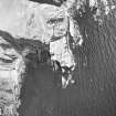
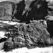
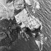
Photographed by the RCAHMS 1980.
RCAHMS AP catalogue 1980.
NT87SE 1 86101 71047
EXTERNAL REFERENCE:
Scottish Record Office:
RHP/6075 - photostat copies of plans, Belvoir MS, mid 16th century
Field Visit (20 August 1908)
77. Fast Castle.
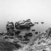
Fast Castle is situated at an elevation of about 158 feet, on a promontory of rock projecting into the sea some 1000 yards north-north-east of Dowlaw farm. The platform on which the castle stood is 260 feet long by 88 feet broad. The neck of the promontory has been traversed by a deep trench or chasm 20 feet wide,on the castle side of which are still observable the remains of a round tower. Within, part of the east wall of the keep still remains as high as the corbelling, with two corbels in situ, but all the rest of the structure is completely destroyed. The scanty remains of the battlement which encircled the promontory still exist below the edge of the precipitous cliffs on the west side.
Fast Castle was only a minor fortress, at first of the Earls of Dunbar, afterwards giving name to a branch of the Homes. In the early years of the 15th century it was for a time alternately in English and Scottish hands. It was garrisoned in January 1514, as a result of the English victory at Flodden; thereafter was implicated in the opposition to the regency of the Duke of Albany and was by him captured and razed (1515). Some six years later it was rebuilt. The English ambassador, who lodged in it for a night in 1567, declared that it was ‘fitter to lodge prisoners in than folks at liberty; as it is very little, so is it very strong’. An opinion of Cromwell's time (1651) describes it as being, in comparison with Tantallon, ‘as strong, though of little importance, being not able to shelter horses’ (1). The strength of the place consisted in its isolated and precipitous site. By marriage of an heiress it had passed in the reign of James V. from the Homes to Logan of Restalrig, returning, however, to Lord Home by disposition in 1606.
See Cast. and Dom. Arch., iii. p. 222 (plan and illus.); Carr’s
Coldingham, p. 92; Scott's Provincial Antiquities, ii. p. 188 (illus.); (1) Douglas's Cromwell's Scotch Campaigns, p. 234, n.; Wedderburn Paper's (Hist. MSS. Comn.).
RCAHMS 1915, visited 24th August 1908
OS Map: BER., ii. SW.
Photographic Survey (July 1961 - September 1961)
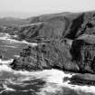
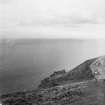
Photographic survey of Fast Castle, Berwickshire, by the Scottish National Buildings Record in July and September 1961.
Excavation (1971 - 1986)
Excavations at Fast Castle were undertaken by members of Edinburgh Archaeological Field Society over 15 years between 1971 and 1986, and finally reported on in 2001 in the definitive Excavation Report "Fast Castle Excavations 1971-86", by K L Mitchell, K R Murdoch, and J R Ward, and others.
Sbc Note
Visibility: This site has been excavated.
Information from Scottish Borders Council
Dendrochronology
NT 86101 71047 After assessment of the assemblage, five oak timbers from Fast Castle were borrowed from NMS for the SESOD project. The timbers were small elements that came from a series of excavations carried out at Fast Castle between 1975 and 1984 by the Edinburgh Archaeological Field Society (Canmore ID: 59944) and had been conserved in PEG by NMS. This requires careful removal of PEG from surfaces to reveal the tree-ring patterns for measurement. Only timber K.2003.505 (NMS accession number) was dated, as SESOD sample FST505: it dates to the span AD 1425–1516 against Scandinavian imported timber in Scotland and is probably from southern Norway. It has 13 sapwood rings but is probably not at bark edge, indicating a felling date range of AD 1517–1533. The dendro-dating result accords well with information on Canmore that Fast Castle was razed in 1515 and rebuilt in 1521. The PEG was removed from a surface track on one other item K.2003.496 (FST496) revealing only 26 rings, too few for dating, and K.2003.496.502 appeared similar with around 40 rings. The other two items (K.2003.485 and 506) had more rings but the ring patterns were difficult to access without taking sub-samples. On the basis of their similarity to dated FST505 and the likelihood they too are imported oak, no further work was done, given the objective of SESOD was to find native oak. Full details of these and other SESOD results will be given in the project publication. See also the SESOD overview (p6).
Archive: NRHE (intended)
Funder: Historic Environment Scotland
Coralie M Mills – Dendrochronicle
(Source: DES Volume 23)


