Pricing Change
New pricing for orders of material from this site will come into place shortly. Charges for supply of digital images, digitisation on demand, prints and licensing will be altered.
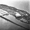
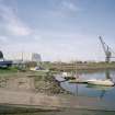
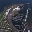
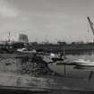
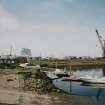
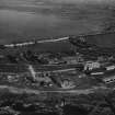
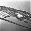
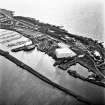
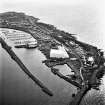
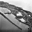
Troon Harbour, Ailsa Shipyard
Shipyard (19th Century)
Site Name Troon Harbour, Ailsa Shipyard
Classification Shipyard (19th Century)
Alternative Name(s) Troon, Ailsa-perth Shipyard
Canmore ID 79634
Site Number NS33SW 25
NGR NS 30968 31374
NGR Description Centred NS 30968 31374
Datum OSGB36 - NGR
Permalink http://canmore.org.uk/site/79634
- Council South Ayrshire
- Parish Dundonald (Kyle And Carrick)
- Former Region Strathclyde
- Former District Kyle And Carrick
- Former County Ayrshire
NS33SW 25 centred 30968 31374
Works [NAT]
OS (GIS) AIB, May 2006.
Location formerly entered as centred NS 309 313.
For Troon Harbour (centred NS 30981 31484), see NS33SW 23.00.
(Location cited as NS 310 313). Shipbuilding Yard, Troon, late 19th century. A much-modernised group of structures, with two dry docks. The engine-works building, a red-brick structure, is probably original.
J R Hume 1976.
The dry docks at NS 30919 31490 (NS33SW 23.14) and NS 30996 31335 (NS33SW 23.01) may form part of this shipyard.
Information from RCAHMS (RJCM), 24 May 2006.
Archaeological Evaluation (19 May 2016 - 30 May 2016)
An Archaeological Assessment was commissioned as part of the proposals to construct a Biomass Plant at Troon Harbour on the site of the Ailsa Craig shipyard. This was accompanied by a watching brief maintained during excavation of trial pits. Analysis of sources revealed no record of occupation within the development area pre-dating the construction of Troon Harbour in 1808. While the potential of the natural harbour formed by the Troon peninsula had long been recognised, this wasn't fully exploited until 1808. The development of the modern town of Troon owes itself to the creation of the harbour. Troon Harbour is a significant part of Scotland's early industrialisation and as such large parts are Category B Listed. However, the Harbour remained in use for the last 200 years, and as such continued to develop, modernise and re-model. The map regression shows that between 1860 and 1896 large scale reconstruction of the proposed development site took place - a process that has continued to the present day. Archaeological monitoring of Trial Pits revealed large deposits of made ground, some containing late 20th century rubbish at depth and showing extensive re-working of the proposed development area. Continued use, demolition and construction on the proposed development site will have severely compromised or removed any traces of the early harbour buildings and fittings. As such ARCHAS Cultural Heritage Ltd consider the archaeological potential of the site to be low. It is recommended that no further archaeological mitigation is required should the development be granted planning permission.
Information from OASIS ID: archascu1-256565 (R Cameron) 2016


