Pricing Change
New pricing for orders of material from this site will come into place shortly. Charges for supply of digital images, digitisation on demand, prints and licensing will be altered.
Errol Airfield, E Dispersal Area
Aircraft Hangar(S) (20th Century), Weapons Pit(S) (Second World War)
Site Name Errol Airfield, E Dispersal Area
Classification Aircraft Hangar(S) (20th Century), Weapons Pit(S) (Second World War)
Alternative Name(s) Muirhouses
Canmore ID 275317
Site Number NO22SE 18.07
NGR NO 2737 2489
NGR Description Centred NO 2737 2489
Datum OSGB36 - NGR
Permalink http://canmore.org.uk/site/275317
- Council Perth And Kinross
- Parish Errol
- Former Region Tayside
- Former District Perth And Kinross
- Former County Perthshire
NO22SE 18.07 centred 2737 2489
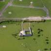
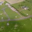
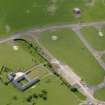
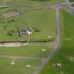
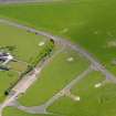
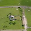
Two aircraft hangars are visible on RAF WW II vertical air photographs (NLA 68, 3089-3091, flown 27 August 1943), possibly T1 type, one of which had a camouflaged roof. The hangars were located within oval concrete taxiways, still visible today and on vertical air photographs taken in 1988 (All Scotland Survey, 50788 226-227, flown 10 June 1988), though both aircraft hangars have been removed and their position taken by modern agricultural buildings.
Information from RCAHMS (DE), October 2005
Note (24 June 2022)
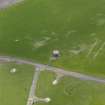
The Pillbox Study Group report three weapons pits are visible on a RAF air photograph 106G/Scot/UK/0033 4122 (flown 25 April 1946).
Information from Pillbox Study Group to HES 24 June 2022


