Pricing Change
New pricing for orders of material from this site will come into place shortly. Charges for supply of digital images, digitisation on demand, prints and licensing will be altered.
Glenmailen
Temporary Camp (Roman)
Site Name Glenmailen
Classification Temporary Camp (Roman)
Alternative Name(s) Ythan Wells
Canmore ID 80930
Site Number NJ63NE 2.01
NGR NJ 6551 3818
NGR Description centred NJ 6551 3818
Datum OSGB36 - NGR
Permalink http://canmore.org.uk/site/80930
- Council Aberdeenshire
- Parish Auchterless
- Former Region Grampian
- Former District Banff And Buchan
- Former County Aberdeenshire
NJ63NE 2.01 centred 6551 3818
(See NJ63NE 2.00)
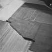
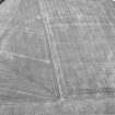
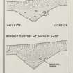
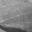
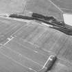
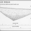
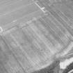
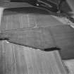
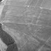
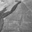
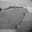
Aerial reconnaissance has recorded parts of three of the sides of this Roman temporary camp, situated in a field E of Glenmellan. Two of the tituli are clearly visible as cropmarks in the NW and NE sides. About 465m of the NW side, the whole of the NE side (525m), and 420m of the SE side are known, suggesting overall dimensions of at least 525m by 800m within a slightly irregular rectangular shape. The camp is therefore at least 42 hectares (104 acres) in size, based on the transcription of aerial photographs.
Information from RCAHMS (RHM), 21 April 1998.
Aerial Photographic Transcription (1 July 1994 - 14 September 1994)
An aerial transcription was produced from oblique aerial photographs. Information from Historic Environment Scotland (BM) 31 March 2017.


