 |
On-line Digital Images |
SC 505346 |
|
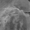
Shalloch Hill, Girvan, oblique aerial view, taken from the NE, centred on the cropmarks of a palisaded settlement. Linear cropmarks are visible in the bottom left-hand corner of the photograph. |
|
Item Level |
|
 |
On-line Digital Images |
SC 1755904 |
RCAHMS Aerial Photography |
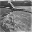
Oblique aerial view. |
1992 |
Item Level |
|
 |
On-line Digital Images |
SC 1755905 |
RCAHMS Aerial Photography |
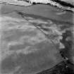
Oblique aerial view. |
1992 |
Item Level |
|
 |
On-line Digital Images |
SC 1755906 |
RCAHMS Aerial Photography |
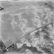
Oblique aerial view. |
1992 |
Item Level |
|
 |
On-line Digital Images |
SC 1755947 |
RCAHMS Aerial Photography |
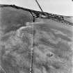
Shalloch Hill, Girvan, oblique aerial view, taken from the SE, centred on the cropmarks of a palisaded settlement. Linear cropmarks are visible in the bottom half of the photograph. |
4/8/1995 |
Item Level |
|
 |
On-line Digital Images |
SC 1755948 |
RCAHMS Aerial Photography |
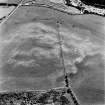
Shalloch Hill, Girvan, oblique aerial view, taken from the NW, centred on the cropmarks of a palisaded settlement and linear cropmarks. |
4/8/1995 |
Item Level |
|
 |
On-line Digital Images |
SC 1755959 |
RCAHMS Aerial Photography |
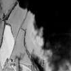
Oblique aerial photograph of Shalloch Hill taken from the SW, centred on the cropmarks of a palisaded settlement and pits. |
14/7/1997 |
Item Level |
|
 |
On-line Digital Images |
SC 1755960 |
RCAHMS Aerial Photography |
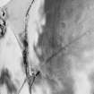
Oblique aerial photograph of Shalloch Hill taken from the S, centred on the cropmarks of a palisaded settlement and pits. |
14/7/1997 |
Item Level |
|
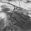 |
On-line Digital Images |
SC 1755961 |
RCAHMS Aerial Photography |
Oblique aerial photograph of Shalloch Hill taken from the SE, centred on the cropmarks of a palisaded settlement and pits. |
14/7/1997 |
Item Level |
|
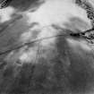 |
On-line Digital Images |
SC 1755962 |
RCAHMS Aerial Photography |
Oblique aerial photograph of Shalloch Hill taken from the ENE, centred on the cropmarks of a palisaded settlement and pits. |
14/7/1997 |
Item Level |
|
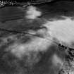 |
On-line Digital Images |
SC 1755963 |
RCAHMS Aerial Photography |
Oblique aerial photograph of Shalloch Hill taken from the NE, centred on the cropmarks of a palisaded settlement and pits. |
14/7/1997 |
Item Level |
|
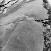 |
On-line Digital Images |
SC 1755982 |
RCAHMS Aerial Photography |
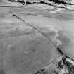
Oblique aerial view centred on the parchmarks of the palisaded settlement with quarries and field boundaries adjacent, taken from the NE. |
11/7/2000 |
Item Level |
|
 |
On-line Digital Images |
SC 1755983 |
RCAHMS Aerial Photography |
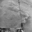
Oblique aerial view centred on the parchmarks of the palisaded settlement with quarries and field boundaries adjacent, taken from the N. |
11/7/2000 |
Item Level |
|
 |
On-line Digital Images |
SC 1755984 |
RCAHMS Aerial Photography |
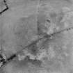
Oblique aerial view centred on the parchmarks of the palisaded settlement with quarries and field boundaries adjacent, taken from the NW. |
11/7/2000 |
Item Level |
|
 |
On-line Digital Images |
SC 1755985 |
RCAHMS Aerial Photography |
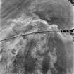
Oblique aerial view centred on the parchmarks of the palisaded settlement with quarries and field boundaries adjacent, taken from the WSW. |
11/7/2000 |
Item Level |
|
 |
On-line Digital Images |
SC 1859363 |
RCAHMS Aerial Photography |
Shalloch Hill, Girvan, oblique aerial view, taken from the NE, centred on the cropmarks of a palisaded settlement. Linear cropmarks are visible in the bottom left-hand corner of the photograph. |
4/8/1995 |
Item Level |
|


