
Crockness


Linear Feature (Period Unassigned)
Site Name Crockness
Classification Linear Feature (Period Unassigned)
Alternative Name(s) Crock Ness
Canmore ID 133619
Site Number ND39SW 54
NGR ND 32303 93321
NGR Description From ND 3236 9339 to ND 3223 9317
Datum OSGB36 - NGR
Permalink http://canmore.org.uk/site/133619


- Council Orkney Islands
- Parish Walls And Flotta
- Former Region Orkney Islands Area
- Former District Orkney
- Former County Orkney
ND39SW 54 3236 9339 to 3223 9317
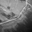
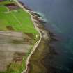
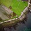
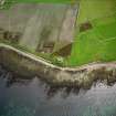
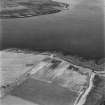
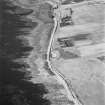
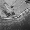
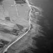
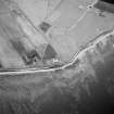
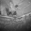
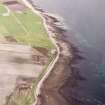
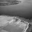
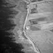
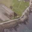
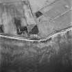
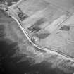
A linear soilmark has been recorded from aerial photography (RCAHMSAP 1995) in a field to the SW of the Martello Tower (ND39SW 10) at Crockness. The soilmark has the appearance of a bank and ditch, with the ditch to the N side. It is possibly an old field boundary, however, there is no evidence for such on the 1st edition of the OS 6-inch map (Orkney, 1879, sheet 119).
Information from RCAHMS (DE) September 1998

