Scheduled Maintenance
Please be advised that this website will undergo scheduled maintenance on the following dates: •
Tuesday 3rd December 11:00-15:00
During these times, some services may be temporarily unavailable. We apologise for any inconvenience this may cause.
Nether Towie
Cairn (Period Unassigned)
Site Name Nether Towie
Classification Cairn (Period Unassigned)
Alternative Name(s) Trancie Hill
Canmore ID 83735
Site Number NJ41SW 41
NGR NJ 4490 1229
Datum OSGB36 - NGR
Permalink http://canmore.org.uk/site/83735
- Council Aberdeenshire
- Parish Towie
- Former Region Grampian
- Former District Gordon
- Former County Aberdeenshire
NJ41SW 41 4490 1229
Formerly classified as Ring-ditch House.
(Location cited as NJ 4492 1229). Cairn with ditch round it.
Information from Mrs M Greig (Grampian Regional Council), 19 June 1995.
(Location cited as NJ 4492 1229). Both vertical and oblique air photography have recorded at least one ditched cairn at an altitude of 220m OD.
Air photographic imagery cited: vertical: Jasair 35/88/011 and oblique: AAS/84/13/R26 (1)/5-6, flown 11 August 1984; AAS/84/R27/7-11, flown 11 August 1984 and AAS/92/10/G13/12-18, flown 22 December 1992.
NMRS, MS/712/46.
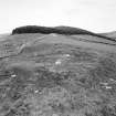
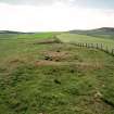
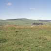
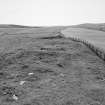
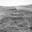
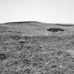
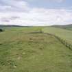
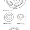
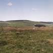
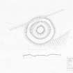
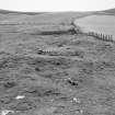
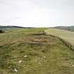
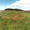
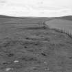
(Location amended to NJ 4490 1229). This grass-grown cairn is situated at the edge of cultivated ground about 300m NE of Nether Towie farmsteading (NJ41SW 147), and lies in a shallow saddle in the crest of a ridge aligned NE and SW. It measures about 4.5m in diameter within an annular ditch up to 3m in breadth and 0.2m in depth. An external bank measures up to 3m in thickness and 0.2m in height.
Visited by RCAHMS (JRS), 1 March 2000.
Scheduled as 'Nether Towie, cairn 420m NNE of,... on a ridge aligned from NE to SW at 220m OD, on a mixture of cultivated land and pasture.'
Information from Historic Scotland, scheduling document dated 21 March 2007.


