
Rattray Airfield


Airfield (20th Century), Radio Station (20th Century)
Site Name Rattray Airfield
Classification Airfield (20th Century), Radio Station (20th Century)
Alternative Name(s) Crimond Airfield; Hms Merganser; Rn Wt Station Crimond
Canmore ID 81330
Site Number NK05NE 16
NGR NK 0700 5800
NGR Description Centred NK 0700 5800
Datum OSGB36 - NGR
Permalink http://canmore.org.uk/site/81330


- Council Aberdeenshire
- Parish Crimond
- Former Region Grampian
- Former District Banff And Buchan
- Former County Aberdeenshire
NK05NE 16 centred 0700 5800
See also NK05NE 25 and NK05NE 29.
Not to be confused with nearby Loch of Strathbeg radar station (NK c. 083 577), for which see NK05NE 22.
For pillboxes (NK 090 582 to 101 579) protecting this airfield, see NK05NE 17.
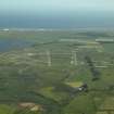
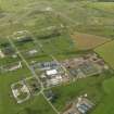
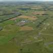
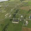
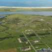
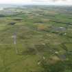
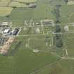
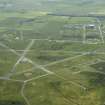
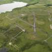
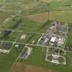
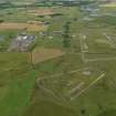
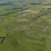
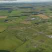
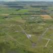
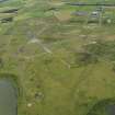
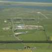
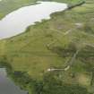
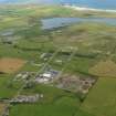
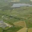
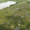
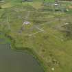
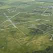
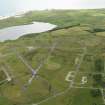
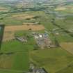
World War II airfield, now disused but runways and hut stances still visible. Two radar masts stand in area. Visible on air photographs AAS/93/15/G31/1-3, flown 11 November 1993. Copies held by Grampian Regional Council SMR.
NMRS, MS/712/6.
The radio antennae and related structures and buildings that occupy part of this airfield comprise a major Royal Naval wireless telegraphy station (RN W/T station Crimond), which dates from the mid-1970's.
Information from RCAHMS (RJCM), 28 August 1998.

