 |
On-line Digital Images |
DP 045566 |
RCAHMS Aerial Photography Digital |
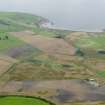
General oblique aerial view looking across the cropmarks of the barrows, pits, field boundaries and enclosure at West Myroch towards Port Logan, taken from the ENE. |
8/8/2008 |
Item Level |
|
 |
On-line Digital Images |
DP 045567 |
RCAHMS Aerial Photography Digital |
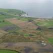
General oblique aerial view looking across the cropmarks of the barrows, pits, field boundaries and enclosure at West Myroch towards Port Logan, taken from the NE. |
8/8/2008 |
Item Level |
|
 |
On-line Digital Images |
DP 082522 |
RCAHMS Aerial Photography Digital |
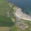
General oblique aerial view of Port logan, taken from the ENE. |
21/6/2010 |
Item Level |
|
 |
On-line Digital Images |
DP 082523 |
RCAHMS Aerial Photography Digital |
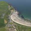
General oblique aerial view of Port logan, taken from the NE. |
21/6/2010 |
Item Level |
|
 |
On-line Digital Images |
DP 082747 |
RCAHMS Aerial Photography Digital |
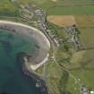
General oblique aerial view of Port Logan, taken from the SW. |
2/8/2009 |
Item Level |
|
 |
On-line Digital Images |
DP 082748 |
RCAHMS Aerial Photography Digital |
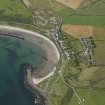
General oblique aerial view of Port Logan, taken from the SSW. |
2/8/2009 |
Item Level |
|
 |
On-line Digital Images |
DP 193996 |
RCAHMS Aerial Photography Digital |
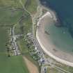
Oblique aerial view of Port Logan, looking WSW. |
25/7/2014 |
Item Level |
|
 |
On-line Digital Images |
SC 2458656 |
Records of the Ordnance Survey, Southampton, Hampshire, England |
Port Logan, NX04SE 17, Ordnance Survey index card, Recto |
c. 1958 |
Item Level |
|


