
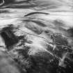
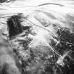
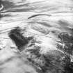
Cockburn Law


Building (Medieval)
Site Name Cockburn Law
Classification Building (Medieval)
Canmore ID 58609
Site Number NT75NE 46
NGR NT 76982 59828
NGR Description Centre
Datum OSGB36 - NGR
Permalink http://canmore.org.uk/site/58609


- Council Scottish Borders, The
- Parish Duns
- Former Region Borders
- Former District Berwickshire
- Former County Berwickshire
Field Visit (12 February 2020)
The location, classification and period of this site have been reviewed.
Sbc Note
Visibility: This is an upstanding earthwork or monument.
Information from Scottish Borders Council
Sbc Note
Single building. Two parallel lines of footings, forming a rectangle 9m x 5m. The footings are 1 m apart. If there are further footings they are not obvious.
Information from Scottish Borders Council

