
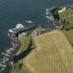
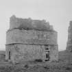
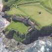
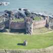
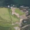
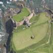
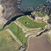
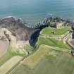
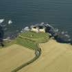
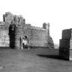
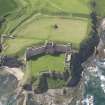
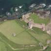
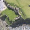
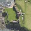
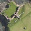
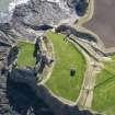
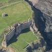
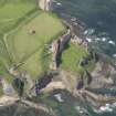
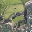
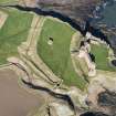
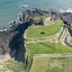
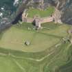
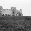
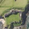
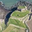
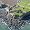
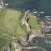
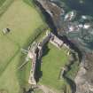
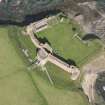
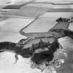
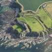
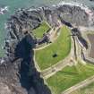
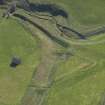
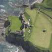
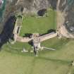
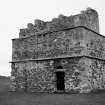
Tantallon Castle, Dovecot


Buried Land Surface (17th Century), Dovecot (17th Century)
Site Name Tantallon Castle, Dovecot
Classification Buried Land Surface (17th Century), Dovecot (17th Century)
Canmore ID 56631
Site Number NT58NE 5.01
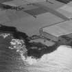
NGR NT 59523 85000
Datum OSGB36 - NGR
Permalink http://canmore.org.uk/site/56631


- Council East Lothian
- Parish North Berwick
- Former Region Lothian
- Former District East Lothian
- Former County East Lothian
Field Visit (September 1924)
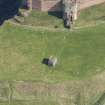
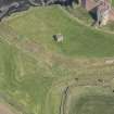
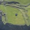
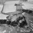
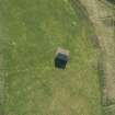
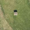
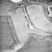
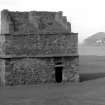
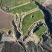
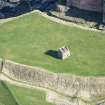
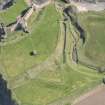
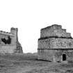
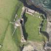
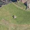
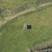
In the area enclosed by the two inner ditches there is a 17th century dovecot, oblong on plan, containing two chambers (fig.26 [SC 1127381]).
RCAHMS 1924, visited June 1919; September 1924.
Field Visit (1996)
Site recorded by GUARD during the Coastal Assessment Survey for Historic Scotland, 'The Firth of Forth from Dunbar to the Coast of Fife' 1996.
Watching Brief (20 July 2015)
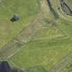
NT 5952 8497, NT 5959 8493 and NT 5964 8503 A watching brief was carried out on 20 July 2015, during the installation of new signs and the replacement of interpretation panels. Surfaces of anthropomorphic origin were revealed in the trenches at NT 5952 8497 and NT 5964 8503. These were not excavated and were left undisturbed. There were no other finds or features of archaeological significance.
Archive: National Record of the Historic Environment (NRHE) intended
Funder: Historic Environment Scotland
Gordon Ewart – Kirkdale Archaeology
(Source: DES, Volume 16)

