
Moat Knowe


Building (Period Unassigned), Enclosure (Period Unassigned), Sheepfold (Period Unassigned)
Site Name Moat Knowe
Classification Building (Period Unassigned), Enclosure (Period Unassigned), Sheepfold (Period Unassigned)
Canmore ID 318643
Site Number NT71SE 201
NGR NT 77868 13723
Datum OSGB36 - NGR
Permalink http://canmore.org.uk/site/318643


- Council Scottish Borders, The
- Parish Hownam
- Former Region Borders
- Former District Roxburgh
- Former County Roxburghshire
Field Visit (5 October 1999)
NT71SE 201
Moat Knowe
Building; Enclosure; Sheepfold
NT 77868 13723
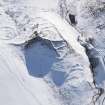
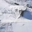
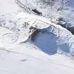
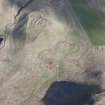
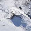
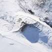
On gently sloping ground to the N of Moat Knowe fort (NT71SW 24) there is a building, enclosure and circular sheepfold. The building measures 4.2m from NW to SE by 2.1m transversely within turf banks. Immediately to the SE there is a roughly rectangular enclosure, the W side of which extends from the W side of the building. It measures about 33m from SW to NE by 20m transversely; the partial remains of another possible enclosure lie about 13m to the SE. The sheepfold sits to the NE of the group and measures 14m in diameter over a low turf bank.
Visited by RCAHMS (DCC) 5 October 1999

