
Spittalfield


Pit Alignment (Prehistoric)(Possible)
Site Name Spittalfield
Classification Pit Alignment (Prehistoric)(Possible)
Canmore ID 28999
Site Number NO14SW 72
NGR NO 1077 4144
NGR Description NO 1076 4139 to NO 1077 4148
Datum OSGB36 - NGR
Permalink http://canmore.org.uk/site/28999


- Council Perth And Kinross
- Parish Caputh
- Former Region Tayside
- Former District Perth And Kinross
- Former County Perthshire
Aerial Photographic Transcription (16 January 1990)
An aerial transcription was produced from oblique aerial photographs. Information from Historic Environment Scotland (BM) 31 March 2017.
Aerial Photographic Interpretation (16 October 1990)
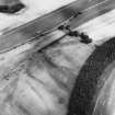
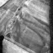
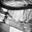
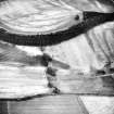
NO14SW 72 1076 4139 to 1077 4138.
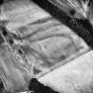
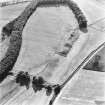
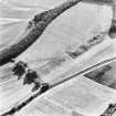
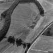
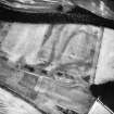
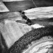
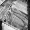
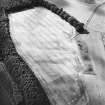
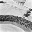
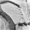
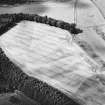
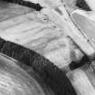
Aerial photography has revealed a possible alignment of at least five widely-spaced pits cutting across the gravel plateau some 500m N of Spittalfield.
Information from RCAHMS (SMF) 16 October 1990.

