Pricing Change
New pricing for orders of material from this site will come into place shortly. Charges for supply of digital images, digitisation on demand, prints and licensing will be altered.
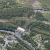
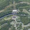
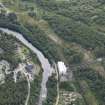
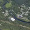
Tummel Power Station, Pipelines
Pipeline(S) (20th Century), Surge Tower (20th Century)
Site Name Tummel Power Station, Pipelines
Classification Pipeline(S) (20th Century), Surge Tower (20th Century)
Alternative Name(s) Tummel Hydro-electricity Scheme; Tummel Bridge Penstocks
Canmore ID 171418
Site Number NN75NE 71.01
NGR NN 76301 58907
NGR Description NN 7626 5881 to NN 7635 5900
Datum OSGB36 - NGR
Permalink http://canmore.org.uk/site/171418
- Council Perth And Kinross
- Parish Dull
- Former Region Tayside
- Former District Perth And Kinross
- Former County Perthshire
Field Visit (2010)
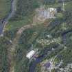
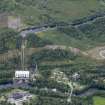
These pipes conduct water from the outlet of the aqueduct (see separate record) down to the powerhouse and through the turbines. These are relatively standard riveted steel pipes which convey water from the aqueduct to the turbines in the powerhouse. P L Payne,1988; E Wood, 2002; J Miller, 2002.


