
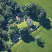
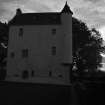
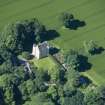
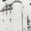
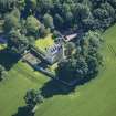
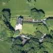
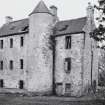
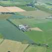
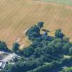
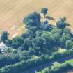
Kinkell Castle


Tower House (16th Century)
Site Name Kinkell Castle
Classification Tower House (16th Century)
Canmore ID 12823
Site Number NH55SE 1
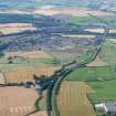
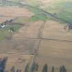
NGR NH 55388 54333
Datum OSGB36 - NGR
Permalink http://canmore.org.uk/site/12823


- Council Highland
- Parish Urquhart And Logie Wester
- Former Region Highland
- Former District Ross And Cromarty
- Former County Ross And Cromarty
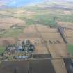
NH55SE 1.00 55388 54333.
(NH 5538 5433) Kinkell Castle (NR)
OS 6" map, (1973)
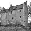
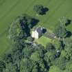
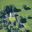
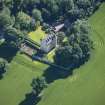
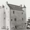
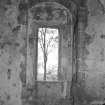
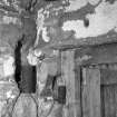
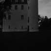
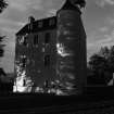
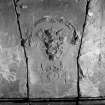
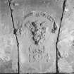
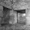
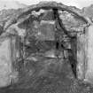
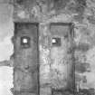
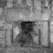
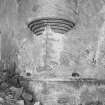
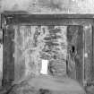
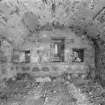
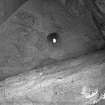
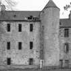
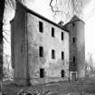
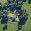
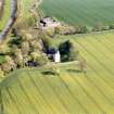
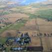
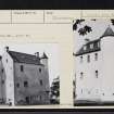
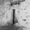
A late 16th C fortalice, modest in size and approximately to the Z-plan with the main block lying E-W. A circular stair tower rises at the SE corner and a stair turret is corbelled out above first-floor level at the NW. The entrance is in the re-entrant angle at the base of the stair tower and is guarded by gun-loops. The harled walls rise three storeys and a garret to a steep roof with crowstepped gables. Internally, the hall fireplace bears a defaced shield dated 1594. Kinkell was the property of the MacKenzies of Gairloch. The castle was used as a farm-house and then deserted, but is now being restored.
N Tranter 1970.
Kinkell Castle is as described above and fully restored and occupied.
Visited by OS (J B) 28 July 1975.
Restored by Gerald Laing (and demolition of later wing) from 1966
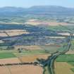
NH55SE 1.01 55410 54326 Studio

