Aerial Photographic Transcription


Date 1980
Event ID 560462
Category Recording
Type Aerial Photographic Transcription
Permalink http://canmore.org.uk/event/560462
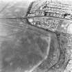
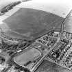
NS 6400 7334 to NS 6419 7350 Resurvey based on surviving ground detail, the 2nd edition of the OS 2 and a half inch map (Stirlingshire 1898, sheet 33/5) which shows extant detail including the Rampart; and RCAHMS aerial photographs (LA 1431-15(1977) and LA 1486-87(1977)).