 |
On-line Digital Images |
SC 925034 |
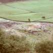
Copy of colour slide, Knapps Homestead Kilmacolm looking SSE
NMRS Survey of Private Collection
Digital Image Only |
22/4/1961 |
Item Level |
 |
On-line Digital Images |
SC 925035 |
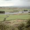
Copy of colour slide, Knapps Homestead Kilmacolm looking SSW
NMRS Survey of Private Collection
Digital Image Only |
22/4/1961 |
Item Level |
 |
On-line Digital Images |
SC 925036 |
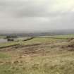
Copy of colour slide, Knapps Homestead Kilmacolm from the north.
NMRS Survey of Private Collection
Digital Image Only |
22/4/1961 |
Item Level |
 |
On-line Digital Images |
SC 925039 |
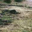
Copy of colour slide, Knapps Homestead Kilmacolm interior of entrance and partition wall
NMRS Survey of Private Collection
Digital Image Only |
22/4/1961 |
Item Level |
 |
On-line Digital Images |
SC 1552192 |
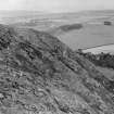
View of E end of hill, with Sunnyside farmstead vsible in the background (right) |
c. 1925 |
Item Level |
 |
On-line Digital Images |
SC 1552193 |
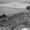
View looking NE over the NE entrance to the fort and the quarry buildings |
c. 1925 |
Item Level |
 |
On-line Digital Images |
SC 1552195 |
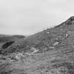
View of NE entrance to lower rampart and quarry edge |
c. 1925 |
Item Level |
 |
On-line Digital Images |
SC 1552196 |
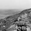
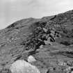
View of junction of ramparts at NT 5804 7476, facing E |
c. 1925 |
Item Level |
 |
On-line Digital Images |
SC 1552198 |
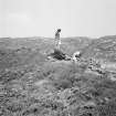
View of ramparts on N side of hill |
c. 1925 |
Item Level |
 |
On-line Digital Images |
SC 1565223 |
View of unidentified people |
7/1973 |
Item Level |
|
Photographs and Off-line Digital Images |
EL 3238 |
View of E end of hill, with Sunnyside farmstead vsible in the background (right) |
c. 1925 |
Item Level |
|
Photographs and Off-line Digital Images |
EL 3239 |
View looking NE over the NE entrance to the fort and the quarry buildings |
c. 1925 |
Item Level |
|
Photographs and Off-line Digital Images |
EL 3241 |
View of NE entrance to lower rampart and quarry edge |
c. 1925 |
Item Level |
|
Photographs and Off-line Digital Images |
EL 3242 |
View of junction of ramparts at NT 5804 7476, facing E |
1925 |
Item Level |
|
Photographs and Off-line Digital Images |
EL 3244 |
View of ramparts on N side of hill |
c. 1925 |
Item Level |
|
Photographs and Off-line Digital Images |
SC 735829 |
Copy of colour slide showing general view of promontory fort, Dun Canna nr Ullapool, Highland
NMRS Survey of Private Collection
Digital Image only |
4/1973 |
Item Level |
|
Photographs and Off-line Digital Images |
SC 735831 |
Copy of colour slide showing view of promontory fort, Dun Canna nr Ullapool, Highland - smaller (outer)enclosure looking outward from main rampart
NMRS Survey of Private Collection
Digital Image only |
4/1973 |
Item Level |
|
Photographs and Off-line Digital Images |
E 38088 |
Photograph showing distant view of dun |
7/1973 |
Item Level |
|
Photographs and Off-line Digital Images |
E 38088/6 |
View of people |
7/1973 |
Item Level |


