Sortie 2015/32
551 178/2019/29
Description Sortie 2015/32
Date 6/8/2015
Collection RCAHMS Aerial Photography Digital
Catalogue Number 551 178/2019/29
Category All Other
Permalink http://canmore.org.uk/collection/1484450
Description Sortie 2015/32
Date 6/8/2015
Collection RCAHMS Aerial Photography Digital
Catalogue Number 551 178/2019/29
Category All Other
Permalink http://canmore.org.uk/collection/1484450
Collection Level (551 178) RCAHMS Aerial Photography Digital
> Group Level (551 178/2019) 2015 Photographs
>> Sub-Group Level (551 178/2019/29) Sortie 2015/32
| Preview | Category | Catalogue Number | Title | Date | Level |
|---|---|---|---|---|---|
| Digital Files (Non-image) | TM 000744 | GPS recorded flight path and map for Sortie 2015/32 | 6/8/2015 | Item Level | |
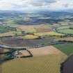 |
On-line Digital Images | DP 218113 | General oblique aerial view of the River Earn, looking W. | 6/8/2015 | Item Level |
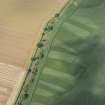 |
On-line Digital Images | DP 218114 | Oblique aerial view of the reed beds on the River Tay, looking NNE. | 6/8/2015 | Item Level |
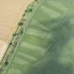 |
On-line Digital Images | DP 218115 | Oblique aerial view of the reed beds on the River Tay, looking NNE. | 6/8/2015 | Item Level |
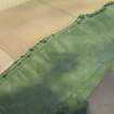 |
On-line Digital Images | DP 218116 | Oblique aerial view of the reed beds on the River Tay, looking NE. | 6/8/2015 | Item Level |
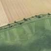 |
On-line Digital Images | DP 218117 | Oblique aerial view of the reed beds on the River Tay, looking NW. | 6/8/2015 | Item Level |
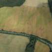 |
On-line Digital Images | DP 218118 | Oblique aerial view of the cropmarks of the round houses and pits, looking E. | 6/8/2015 | Item Level |
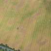 |
On-line Digital Images | DP 218119 | Oblique aerial view of the cropmarks of the round houses and pits, looking ENE. | 6/8/2015 | Item Level |
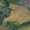 |
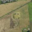
On-line Digital Images | DP 218120 | Oblique aerial view of the cropmarks of the enclosure and pits, looking NNE. | 6/8/2015 | Item Level |
 |
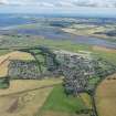
On-line Digital Images | DP 218121 | Oblique aerial view of Leuchars Castle, looking SSE. | 6/8/2015 | Item Level |
 |
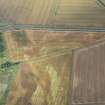
On-line Digital Images | DP 218122 | General oblique aerial view of Leuchars village and airfield with the Eden Estuary Nature Reserve beyond, looking SE. | 6/8/2015 | Item Level |
 |
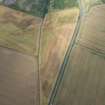
On-line Digital Images | DP 218123 | Oblique aerial view of the cropmarks of the ring ditches, looking SSE. | 6/8/2015 | Item Level |
 |
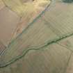
On-line Digital Images | DP 218124 | Oblique aerial view of the cropmarks of the ring ditches, looking NE. | 6/8/2015 | Item Level |
 |
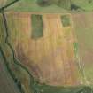
On-line Digital Images | DP 218125 | Oblique aerial view of the cropmarks of the ring ditches, looking NNE. | 6/8/2015 | Item Level |
 |
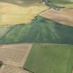
On-line Digital Images | DP 218126 | Oblique aerial view of the cropmarks of the field boundaries, pits and enclosures, looking N. | 6/8/2015 | Item Level |
 |
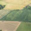
On-line Digital Images | DP 218127 | Oblique aerial view of the cropmarks of the rig, looking ESE. | 6/8/2015 | Item Level |
 |
On-line Digital Images | DP 218128 | Oblique aerial view of the cropmarks of the rig, looking ESE. | 6/8/2015 | Item Level |
 |
On-line Digital Images | DP 218129 | Oblique aerial view of the cropmarks of the rig and the possible pits, looking WSW. | 6/8/2015 | Item Level |
 |
On-line Digital Images | DP 218130 | Oblique aerial view of the cropmarks of the rig and the possible pits, looking WSW. | 6/8/2015 | Item Level |
 |
On-line Digital Images | DP 218131 | Oblique aerial view of the cropmarks of the rig and the possible pits, looking SE. | 6/8/2015 | Item Level |
 |
On-line Digital Images | DP 218132 | Oblique aerial view of the cropmarks of the rig, looking NNW. | 6/8/2015 | Item Level |
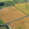 |
On-line Digital Images | DP 218133 | Oblique aerial view of the cropmarks of the rig, looking WSW. | 6/8/2015 | Item Level |
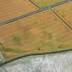 |
On-line Digital Images | DP 218134 | Oblique aerial view of the cropmarks of the rig, looking SW. | 6/8/2015 | Item Level |
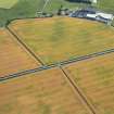 |
On-line Digital Images | DP 218135 | Oblique aerial view of the cropmarks of the rig, looking SW. | 6/8/2015 | Item Level |

© Historic Environment Scotland. Scottish Charity No. SC045925