|
Digital Files (Non-image) |
TM 000826 |
GPS recorded flight path and map for Sortie 2013/24 |
5/7/2013 |
Item Level |
 |
On-line Digital Images |
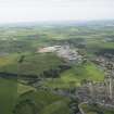
DP 166791 |
General oblique aerial view of Midmill Business Park, Kintore, looking to the SSW. |
5/7/2013 |
Item Level |
 |
On-line Digital Images |
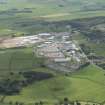
DP 166792 |
General oblique aerial view of Midmill Business Park, Kintore, looking to the WSW. |
5/7/2013 |
Item Level |
 |
On-line Digital Images |
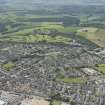
DP 166793 |
General oblique aerial view of Inverurie with the golf course beyond, looking to the SW. |
5/7/2013 |
Item Level |
 |
On-line Digital Images |
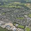
DP 166794 |
General oblique aerial view of Inverurie with the golf course beyond, looking to the SSW. |
5/7/2013 |
Item Level |
 |
On-line Digital Images |
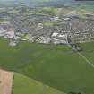
DP 166795 |
General oblique aerial view of Inverurie with the golf course beyond, looking to the SSW. |
5/7/2013 |
Item Level |
 |
On-line Digital Images |
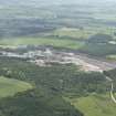
DP 166797 |
General oblique aerial view of Tom's Forest, Kemnay, grantite quarry, looking to the SSE. |
5/7/2013 |
Item Level |
 |
On-line Digital Images |
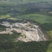
DP 166798 |
General oblique aerial view of Tom's Forest, Kemnay, grantite quarry, looking to the ESE. |
5/7/2013 |
Item Level |
 |
On-line Digital Images |
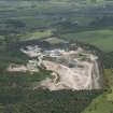
DP 166799 |
General oblique aerial view of Tom's Forest, Kemnay, grantite quarry, looking to the E. |
5/7/2013 |
Item Level |
 |
On-line Digital Images |
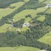
DP 166800 |
General oblique aerial view of Glassel House and its policies with Mains of Glassel beyond, looking to the ENE. |
5/7/2013 |
Item Level |
 |
On-line Digital Images |
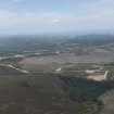
DP 166801 |
General oblique aerial view of the extension to the Mid Hill Wind Farm, looking to the NE. |
5/7/2013 |
Item Level |
 |
On-line Digital Images |
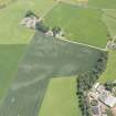
DP 166802 |
Oblique aerial view of the cropmarks of the rig, pits and souterrains with Cairndrum farmsteading adjacent, looking to the ESE. |
5/7/2013 |
Item Level |
 |
On-line Digital Images |
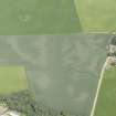
DP 166803 |
Oblique aerial view of the cropmarks of the rig, pits and souterrains, looking to the NNE. |
5/7/2013 |
Item Level |
 |
On-line Digital Images |
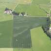
DP 166804 |
Oblique aerial view of the cropmarks of the rig, pits and souterrains with Cairndrum farmsteading adjacent, looking to the SSE. |
5/7/2013 |
Item Level |
 |
On-line Digital Images |
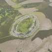
DP 166805 |
Oblique aerial view of the White Caterthun fort, looking to the NNE. |
5/7/2013 |
Item Level |
 |
On-line Digital Images |
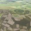
DP 166806 |
General oblique aerial view of the White Caterthun fort with the Brown Caterthun beyond, looking to the NNE. |
5/7/2013 |
Item Level |