 |
On-line Digital Images |
SC 1005101 |
Oblique aerial view centred on the Nairn viaduct at Clava, looking to the ENE. |
|
Item Level |
 |
On-line Digital Images |
SC 1005102 |
Oblique aerial view centred on the Nairn viaduct at Clava, looking to the ENE. |
|
Item Level |
 |
On-line Digital Images |
SC 1005106 |
General oblique aerial view of the Ardersier oil rig construction yard with the Black Isle and Sutherland beyond, looking to the N. |
21/7/1983 |
Item Level |
 |
On-line Digital Images |
SC 1005107 |
General oblique aerial view of the Ardersier oil rig construction yard with the Black Isle and Sutherland beyond, looking to the N. |
21/7/1983 |
Item Level |
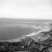 |
On-line Digital Images |
SC 1005108 |
General oblique aerial view centred on Nairn and the Moray Firth, looking to the ENE. |
21/7/1983 |
Item Level |
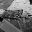 |
On-line Digital Images |
SC 1005111 |
Oblique aerial view centred on cropmarks of a possible unenclosed settlement, roundhouses, pits and ring ditches at Mid Coltfield, looking to the SE. |
21/7/1983 |
Item Level |
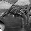 |
On-line Digital Images |
SC 1005112 |
Oblique aerial view centred on cropmarks of a possible unenclosed settlement, roundhouses, pits and ring ditches at Mid Coltfield, looking to the SE. |
21/7/1983 |
Item Level |
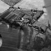 |
On-line Digital Images |
SC 1005113 |
Oblique aerial view centred on cropmarks of a possible unenclosed settlement, roundhouses, pits and ring ditches at Mid Coltfield, looking to the SE. |
21/7/1983 |
Item Level |
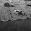 |
On-line Digital Images |
SC 1005123 |
Oblique aerial view centred on the remains of Duffus Castle, looking to the NNW. |
21/7/1983 |
Item Level |
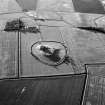 |
On-line Digital Images |
SC 1005124 |
Oblique aerial view centred on the remains of Duffus Castle, looking to the NNW. |
21/7/1983 |
Item Level |
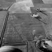 |
On-line Digital Images |
SC 1005125 |
Oblique aerial view of the cropmarks of the ring ditch with Balormie farmstead beyond, looking to the NNW. |
21/7/1983 |
Item Level |
 |
On-line Digital Images |
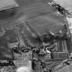
SC 1005127 |
Oblique aerial view centred on cropmarks of a possible unenclosed settlement, roundhouses, pits and ring ditches at Mid Coltfield, looking to the NE. |
21/7/1983 |
Item Level |
 |
On-line Digital Images |
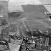
SC 1005128 |
Oblique aerial view centred on cropmarks of a possible unenclosed settlement, roundhouses, pits and ring ditches at Mid Coltfield, looking to the NNE. |
21/7/1983 |
Item Level |
 |
On-line Digital Images |
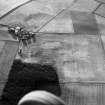
SC 1005131 |
Oblique aerial view centred on cropmarks of a possible unenclosed settlement, roundhouses, pits and ring ditches at Mid Coltfield, looking to the NNW. |
21/7/1983 |
Item Level |
 |
On-line Digital Images |
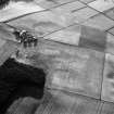
SC 1005132 |
Oblique aerial view of the cropmarks of the ring ditch and the farmstead of Standingstone, looking to the NNW. |
21/7/1983 |
Item Level |
 |
On-line Digital Images |
SC 1005134 |
Oblique aerial view of the cropmarks of the ring ditch and the farmstead of Standingstone, looking to the WNW. |
21/7/1983 |
Item Level |
 |
On-line Digital Images |
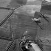
SC 1005141 |
Oblique aerial view of the cropmarks of the ring ditch with Balormie farmstead beyond, looking to the NNW. |
21/7/1983 |
Item Level |
 |
On-line Digital Images |
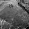
SC 1005146 |
Unidentified |
21/7/1983 |
Item Level |
 |
On-line Digital Images |
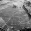
SC 1005147 |
Unidentified |
21/7/1983 |
Item Level |
 |
On-line Digital Images |
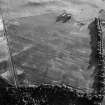
SC 1005149 |
Unidentified |
21/8/1983 |
Item Level |
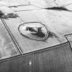 |
On-line Digital Images |
SC 1937219 |
Oblique aerial view. |
21/7/1983 |
Item Level |
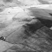 |
On-line Digital Images |
SC 1937824 |
Hill of Newleslie, fort: aerial view. |
21/7/1983 |
Item Level |
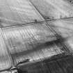 |
On-line Digital Images |
SC 1937574 |
Aerial view. |
21/7/1983 |
Item Level |
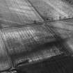 |
On-line Digital Images |
SC 1937604 |
Suttie (Wester Fintray), possible palisaded enclosure: aerial view. |
21/7/1983 |
Item Level |


