 |
On-line Digital Images |
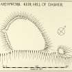
DP 203939 |
Plan of Earthwork, Keir Hill of Dasher. Alternative version. |
c. 1960 |
Item Level |
 |
On-line Digital Images |
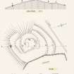
DP 203940 |
Publication drawing; indeterminate remains, Kettlehill |
1959 |
Item Level |
 |
On-line Digital Images |
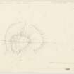
DP 203941 |
Plane-table survey; Keir Know of Drum. |
23/11/1950 |
Item Level |
 |
On-line Digital Images |
DP 203942 |
Plane-table survey showing excavation trenches; Keir Knowe of Drum. |
1957 |
Item Level |
 |
On-line Digital Images |
DP 203943 |
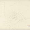
Plane-table survey (showing trench and Jack Scott's pegs); indeterminate remains, Kettlehill. |
9/4/1959 |
Item Level |
 |
On-line Digital Images |
DP 203944 |
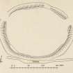
Publication drawing; cashel, Knockinhaglish. |
c. 1952 |
Item Level |
 |
On-line Digital Images |
DP 203945 |
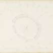
Plane-table survey; cashel, Knockinhaglish. |
16/10/1952 |
Item Level |
 |
On-line Digital Images |
DP 203946 |
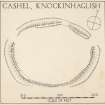
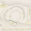
Plan of Cashel, Knockinhaglish. Alternative version. |
c. 1952 |
Item Level |
 |
On-line Digital Images |
DP 203947 |
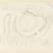
Publication drawing; fort, Langlands. |
c. 1954 |
Item Level |
 |
On-line Digital Images |
DP 203948 |
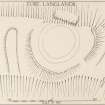
Plane-table survey; fort, Langlands. |
22/2/1954 |
Item Level |
 |
On-line Digital Images |
DP 203949 |
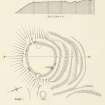
Plan of Langlands fort. Alternative version. |
c. 1960 |
Item Level |
 |
On-line Digital Images |
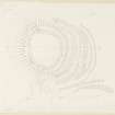
DP 203950 |
Publication drawing; fort, Meikle Reive. |
c. 1953 |
Item Level |
 |
On-line Digital Images |
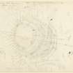
DP 203951 |
Plane-table survey (redrawn from original); fort, Meikle Reive. |
c. 1953 |
Item Level |
 |
On-line Digital Images |
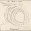
DP 203952 |
Plane-table survey (plan and section, including position of 'Fairhurst section'); fort, Meikle Reive. |
26/6/1953 |
Item Level |
 |
On-line Digital Images |
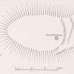
DP 203953 |
Plan of fort, Meikle Reive. Alternative version. |
c. 1960 |
Item Level |
 |
On-line Digital Images |
DP 203954 |
Publication drawing; fort, Myot Hill. |
c. 1953 |
Item Level |
 |
On-line Digital Images |
DP 203955 |
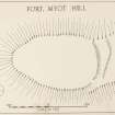
Plane-table survey; fort, Myot Hill. |
7/5/1953 |
Item Level |
 |
On-line Digital Images |
DP 203956 |
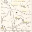
Plan of Myot Hill fort. Alternative version. |
c. 1960 |
Item Level |
 |
On-line Digital Images |
DP 203957 |
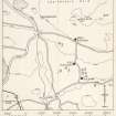
Publication drawing; cairns and barrow, Blochairn. |
c. 1963 |
Item Level |
 |
On-line Digital Images |
DP 203958 |
Unpublished drawing; cairns and barrows, Blochairn. |
c. 1963 |
Item Level |
 |
On-line Digital Images |
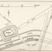
DP 203959 |
Publication drawing; Motte, Bonnybridge; plan as surveyed in 1933. |
1934 |
Item Level |
 |
On-line Digital Images |
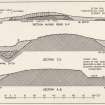
DP 203960 |
Publication drawing; Motte, Bonnybridge; sections as surveyed in 1933. |
1934 |
Item Level |
 |
On-line Digital Images |
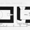
DP 297050 |
Publication drawing; Craigmaddie Castle, basement and first floor plans. |
1954 |
Item Level |
 |
On-line Digital Images |
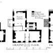
DP 298114 |
Basement, ground and first floor plans. |
1955 |
Item Level |


