
The Chesters


Cropmark(S) (Period Unknown), Field Boundary(S) (Period Unassigned)
Site Name The Chesters
Classification Cropmark(S) (Period Unknown), Field Boundary(S) (Period Unassigned)
Canmore ID 260789
Site Number NT67SE 101
NGR NT 65860 74050
Datum OSGB36 - NGR
Permalink http://canmore.org.uk/site/260789


- Council East Lothian
- Parish Spott (East Lothian)
- Former Region Lothian
- Former District East Lothian
- Former County East Lothian
NT67SE 101 NT 65860 74050
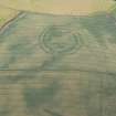
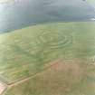
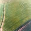
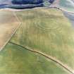
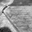
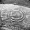
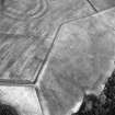
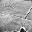
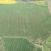
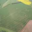
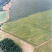
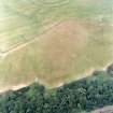
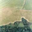
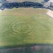
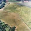
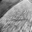
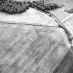
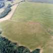
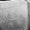
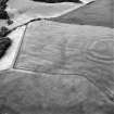
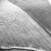
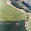
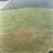
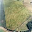
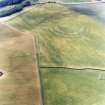
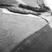
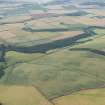
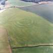
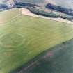
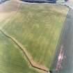
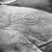
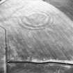
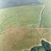
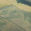
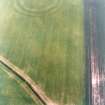
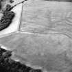
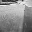
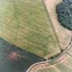
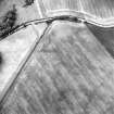
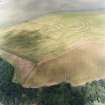
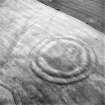
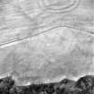
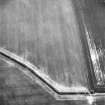
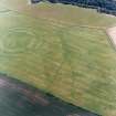
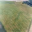
Ploughed down field boundaries and amorphous linear cropmarks, some of which may be agricultural, have been recorded on oblique aerial photography (RCAHMSAP 2000) on the slopes around The Chesters fort (NT67SE 2). The field boundaries to the NW of the fort and are depicted on the 1st edition of the OS 6-inch map (Haddingtonshire 1855, Sheet 11).
Information from RCAHMS (KMM) 24 June 2004

